Transport Functions
Port
Road
Hub Profile
Place type
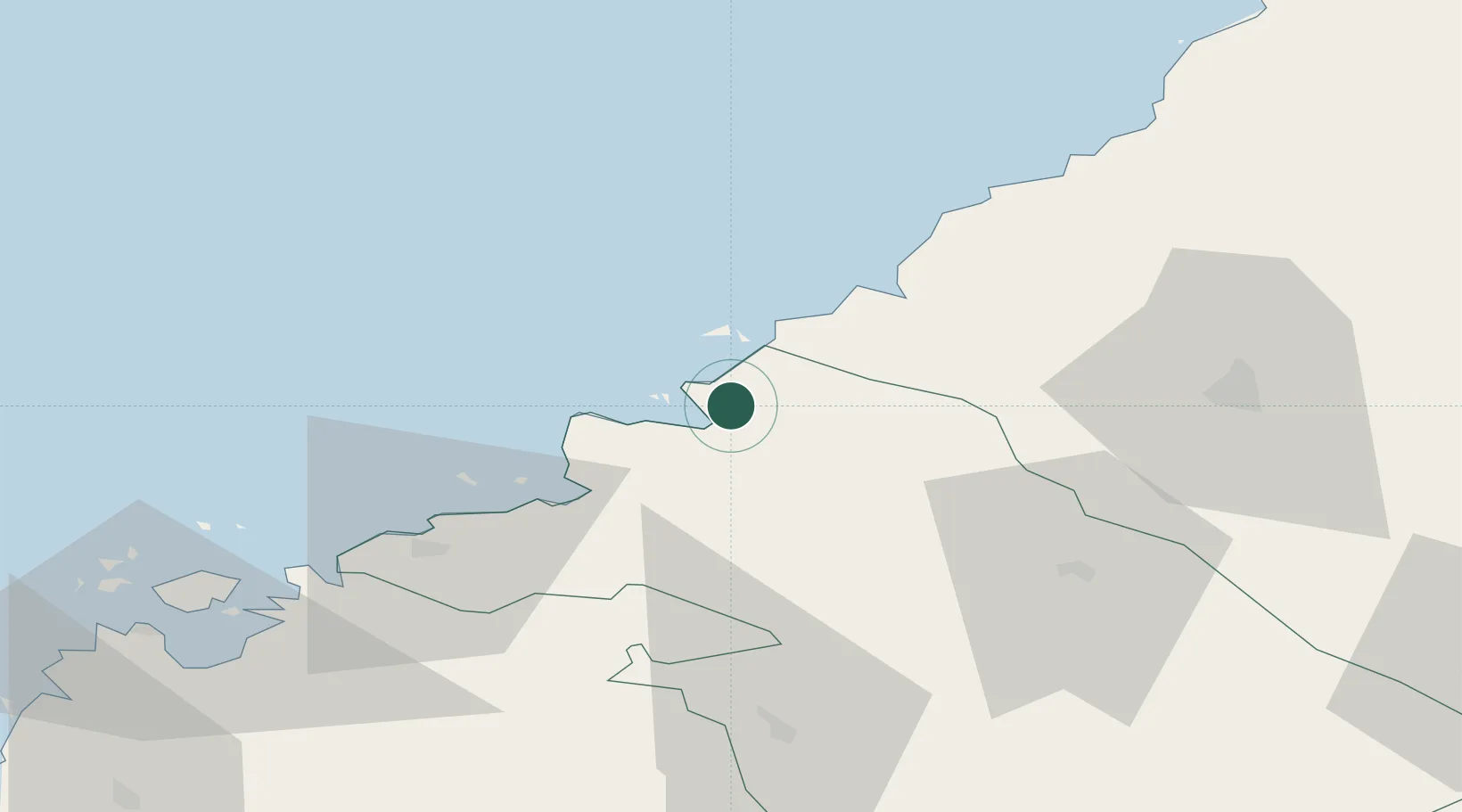
Populated place
Region
North Ostrobothnia
Population
3,136
Time zone
Europe/Helsinki
Elevation
14 m
Location
Nearby Logistics Neighbours
Cities
- 1Himankakylä11 km
- 2Kalajoki25 km
- 3Karleby (Kokkola)39 km
- 4Yxpila40 km
- 5Nedervetil44 km
Ports
- 1Rahja17 km
- 2Kokkola39 km
- 3Pietarsaari64 km
- 4Raahe78 km
- 5Nykarleby82 km
Airports
- 1Kokkola-Pietarsaari Airport46 km
- 2Ylivieska Airfield52 km
- 3Kauhava Airfield109 km
- 4Oulu Airport126 km
- 5Skellefteå Airport139 km
Trade Zones
- 1Oulu Port Free Warehouse Area133 km
- 2Free Zone of Lappeenranta407 km
- 3Turku Free Zone410 km
- 4Port of Hamina-Kotka435 km
- 5Freeport of Hanko473 km
DatabookThe Record of Consolidated Knowledge
Finland beyond logistics?