Transport Functions
Multimodal
Hub Profile
Place type
Urban district
Region
Central Ostrobothnia
Time zone
Europe/Helsinki
Elevation
123 m
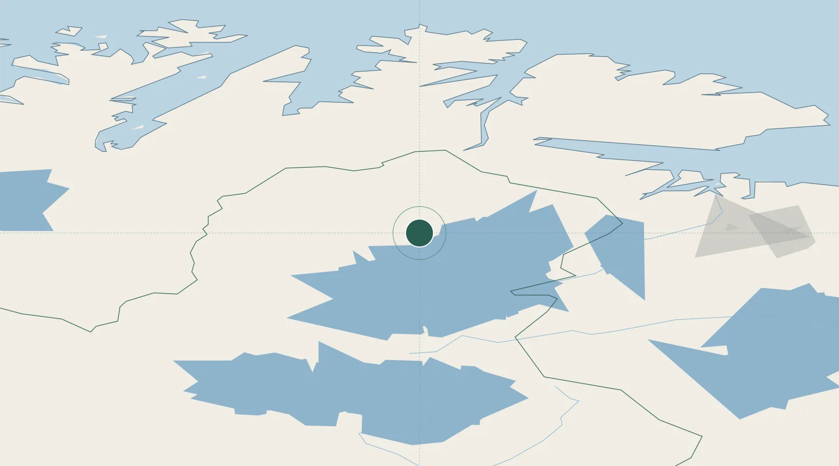
Location
Nearby Logistics Neighbours
Cities
- 1Nyelv91 km
- 2Bugøynes100 km
- 3Vadsø112 km
- 4Leirpollen123 km
- 5Hamnbukt - Porsanger127 km
Airports
- 1Ivalo Airport87 km
- 2Kirkenes Airport, Høybuktmoen95 km
- 3Vadsø Airport114 km
- 4Lakselv Airport, Banak128 km
- 5Båtsfjord Airport156 km
Trade Zones
- 1Murmansk Special Economic Zone220 km
- 2Oulu Port Free Warehouse Area497 km
- 3Free Zone of Lappeenranta928 km
- 4Port of Hamina-Kotka992 km
- 5Turku Free Zone1026 km
DatabookThe Record of Consolidated Knowledge
Finland beyond logistics?