Transport Functions
Multimodal
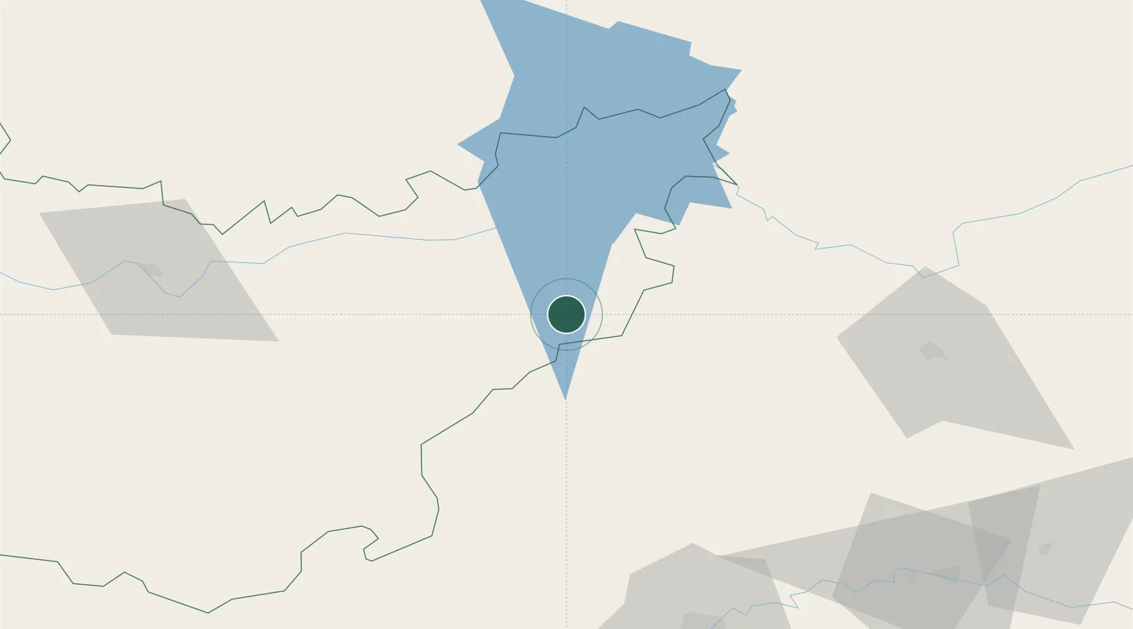
Hub Profile
Place type
Populated place
Region
Extremadura
Population
445
Time zone
Europe/Madrid
Elevation
590 m
Location
Nearby Logistics Neighbours
Cities
- 1Peñalsordo3 km
- 2La Puebla de Alcocer22 km
- 3Talarrubias27 km
- 4Hinojosa del Duque33 km
- 5Monterrubio de la Serena34 km
Ports
- 1Sevilla176 km
- 2Huelva234 km
- 3Malaga241 km
- 4Rota264 km
- 5Vila Real De S Antonio267 km
Airports
- 1Ciudad Real International Airport102 km
- 2Córdoba Airport110 km
- 3Badajoz Airport145 km
- 4Seville Airport167 km
- 5Madroñalejos Forest Fire fighting Heliport173 km
Trade Zones
- 1Zona Franca de Sevilla179 km
- 2Depósito Franco de Málaga203 km
- 3Depósito Franco de Madrid-Aeropuerto228 km
- 4Puerto de Huelva233 km
- 5Zona Franca de Cádiz274 km
DatabookThe Record of Consolidated Knowledge
Spain beyond logistics?