UN/LOCODE hub · Spain
ESMRU
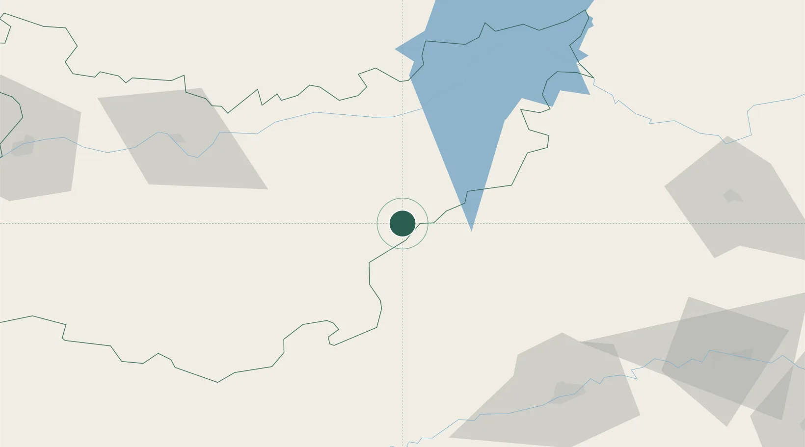
Monterrubio de la Serena
38.5833°, -5.4333°
2,752
Population
1
Transport functions
Transport Functions
Multimodal
Hub Profile
Place type
District seat
Region
Extremadura
Population
2,752
Time zone
Europe/Madrid
Elevation
555 m
Location
Nearby Logistics Neighbours
Cities
- 1Castuera17 km
- 2Hinojosa del Duque26 km
- 3Granja de Torrehermosa32 km
- 4Zarza Capilla34 km
- 5Peñalsordo38 km
Ports
- 1Sevilla144 km
- 2Huelva199 km
- 3Malaga226 km
- 4Vila Real De S Antonio232 km
- 5Rota233 km
Airports
- 1Córdoba Airport97 km
- 2Badajoz Airport125 km
- 3Ciudad Real International Airport131 km
- 4Seville Airport136 km
- 5Madroñalejos Forest Fire fighting Heliport139 km
Trade Zones
- 1Zona Franca de Sevilla148 km
- 2Depósito Franco de Málaga189 km
- 3Puerto de Huelva199 km
- 4Zona Franca de Cádiz243 km
- 5Depósito Franco de Madrid-Aeropuerto262 km
DatabookThe Record of Consolidated Knowledge
Spain beyond logistics?