UN/LOCODE hub · Spain
ESHDD
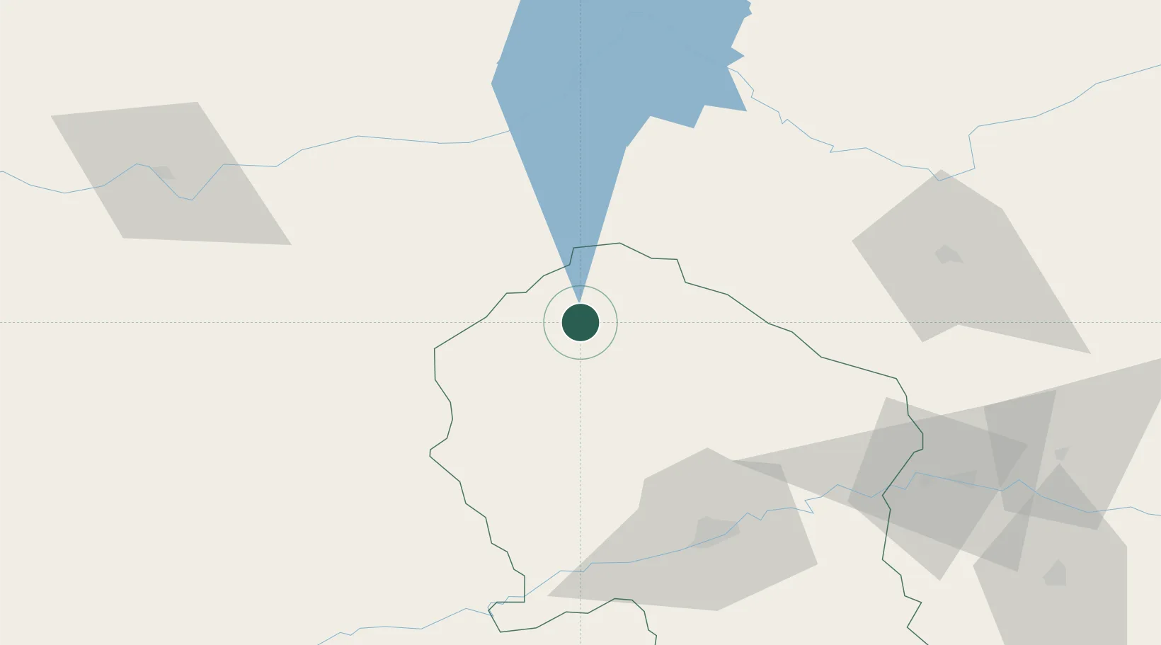
Hinojosa del Duque
38.5000°, -5.1500°
7,555
Population
1
Transport functions
Transport Functions
Port
Hub Profile
Place type
District seat
Region
Andalusia
Population
7,555
Time zone
Europe/Madrid
Elevation
551 m
Location
Nearby Logistics Neighbours
Cities
- 1Monterrubio de la Serena26 km
- 2Zarza Capilla33 km
- 3Espiel35 km
- 4Peñalsordo35 km
- 5Castuera41 km
Airports
- 1Córdoba Airport78 km
- 2Ciudad Real International Airport110 km
- 3Seville Airport137 km
- 4Madroñalejos Forest Fire fighting Heliport147 km
- 5Badajoz Airport151 km
Trade Zones
- 1Zona Franca de Sevilla150 km
- 2Depósito Franco de Málaga171 km
- 3Puerto de Huelva210 km
- 4Zona Franca de Cádiz243 km
- 5Depósito Franco de Madrid-Aeropuerto256 km
DatabookThe Record of Consolidated Knowledge
Spain beyond logistics?