UN/LOCODE hub · Spain
ESPBA

La Puebla de Alcocer

38.9833°, -5.2500°
1
Transport functions

Transport Functions

Multimodal
UN/LOCODE

Hub Profile

Region
BA
GeoNames

Location

Location of ESPBA
Natural Earth 10m (public domain) · BA · ESPBA · 38.98, -5.25GoogleOSMYandex

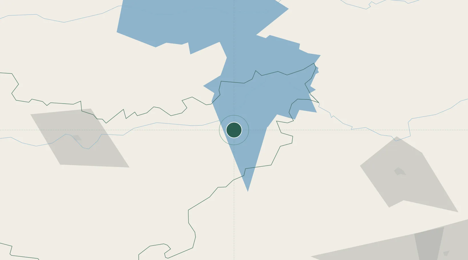
Nearby Logistics Neighbours

Cities
  1. 1Talarrubias6 km
  2. 2Casas de Don Pedro14 km
  3. 3Peñalsordo22 km
  4. 4Zarza Capilla22 km
  5. 5Orellana la Vieja25 km
Nearest neighbours — logibook spatial index (haversine) over the source coordinates
Ports
  1. 1Sevilla191 km
  2. 2Huelva243 km
  3. 3Malaga262 km
  4. 4Vila Real De S Antonio275 km
  5. 5Rota280 km
Nearest neighbours — logibook spatial index (haversine) over the source coordinates
Airports
  1. 1Ciudad Real International Airport112 km
  2. 2Córdoba Airport132 km
  3. 3Badajoz Airport136 km
  4. 4Seville Airport183 km
  5. 5Madroñalejos Forest Fire fighting Heliport185 km
Nearest neighbours — logibook spatial index (haversine) over the source coordinates
Trade Zones
  1. 1Zona Franca de Sevilla195 km
  2. 2Depósito Franco de Madrid-Aeropuerto217 km
  3. 3Depósito Franco de Málaga225 km
  4. 4Puerto de Huelva243 km
  5. 5Zona Franca de Cádiz290 km
Nearest neighbours — logibook spatial index (haversine) over the source coordinates
DatabookThe Record of Consolidated Knowledge
Spain beyond logistics?
Browse databook

All Sources

LocationsUN/LOCODE
UN/LOCODE — free
Portsthe NGA World Port Index
Public domain (US gov)
AirportsOurAirports
Public domain
Trade Zonesthe World Bank SEZ database
CC BY 4.0
Trade ZonesOpen Zone Map
CC BY
← Spain locations