Transport Functions
Multimodal
Hub Profile
Place type
District seat
Region
Extremadura
Population
3,599
Time zone
Europe/Madrid
Elevation
440 m
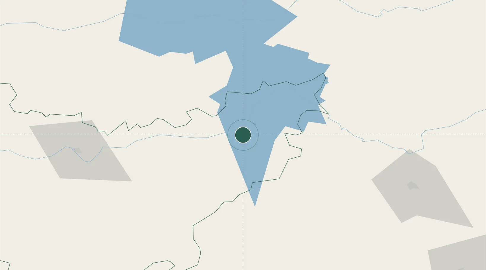
Location
Nearby Logistics Neighbours
Cities
- 1La Puebla de Alcocer6 km
- 2Casas de Don Pedro10 km
- 3Valdecaballeros25 km
- 4Peñalsordo26 km
- 5Orellana la Vieja26 km
Ports
- 1Sevilla197 km
- 2Huelva249 km
- 3Malaga267 km
- 4Vila Real De S Antonio280 km
- 5Rota286 km
Airports
- 1Ciudad Real International Airport111 km
- 2Córdoba Airport137 km
- 3Badajoz Airport138 km
- 4Seville Airport189 km
- 5Madroñalejos Forest Fire fighting Heliport191 km
Trade Zones
- 1Zona Franca de Sevilla200 km
- 2Depósito Franco de Madrid-Aeropuerto212 km
- 3Depósito Franco de Málaga230 km
- 4Puerto de Huelva248 km
- 5Zona Franca de Cádiz296 km
DatabookThe Record of Consolidated Knowledge
Spain beyond logistics?