Transport Functions
Multimodal
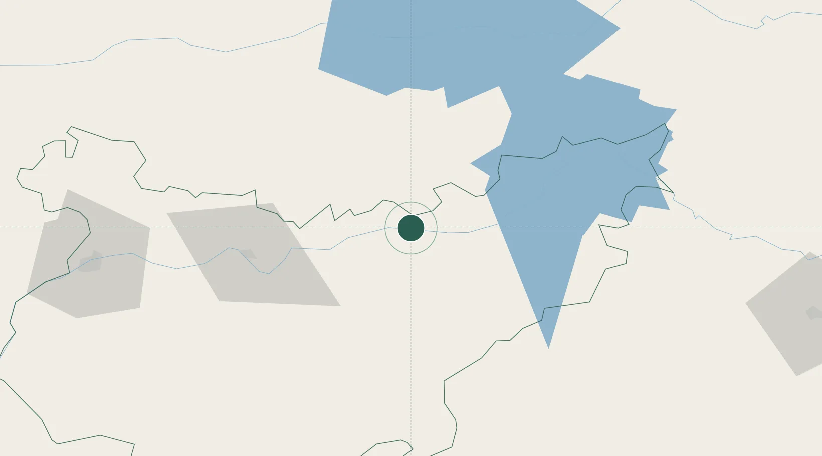
Location
Nearby Logistics Neighbours
Cities
- 1Zurbaran2 km
- 2La Coronada13 km
- 3Orellana la Vieja15 km
- 4Magacela15 km
- 5La Haba16 km
Ports
- 1Sevilla187 km
- 2Huelva226 km
- 3Vila Real De S Antonio254 km
- 4Rota274 km
- 5Malaga281 km
Airports
- 1Badajoz Airport98 km
- 2Ciudad Real International Airport151 km
- 3Córdoba Airport152 km
- 4Estremoz Municipal Heliport167 km
- 5Madroñalejos Forest Fire fighting Heliport174 km
Trade Zones
- 1Zona Franca de Sevilla191 km
- 2Puerto de Huelva226 km
- 3Depósito Franco de Madrid-Aeropuerto240 km
- 4Depósito Franco de Málaga244 km
- 5Zona Franca de Cádiz286 km
DatabookThe Record of Consolidated Knowledge
Spain beyond logistics?