UN/LOCODE hub · Spain
ESORV
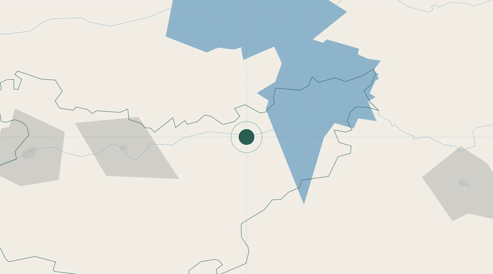
Orellana la Vieja
39.0000°, -5.5333°
3,193
Population
1
Transport functions
Transport Functions
Multimodal
Hub Profile
Place type
District seat
Region
Extremadura
Population
3,193
Time zone
Europe/Madrid
Elevation
356 m
Location
Nearby Logistics Neighbours
Cities
- 1La Coronada15 km
- 2Valdivia15 km
- 3Zurbaran17 km
- 4Magacela21 km
- 5Casas de Don Pedro22 km
Ports
- 1Sevilla186 km
- 2Huelva231 km
- 3Vila Real De S Antonio260 km
- 4Malaga272 km
- 5Rota274 km
Airports
- 1Badajoz Airport112 km
- 2Ciudad Real International Airport136 km
- 3Córdoba Airport142 km
- 4Madroñalejos Forest Fire fighting Heliport176 km
- 5Seville Airport179 km
Trade Zones
- 1Zona Franca de Sevilla190 km
- 2Puerto de Huelva230 km
- 3Depósito Franco de Madrid-Aeropuerto232 km
- 4Depósito Franco de Málaga235 km
- 5Zona Franca de Cádiz285 km
DatabookThe Record of Consolidated Knowledge
Spain beyond logistics?