UN/LOCODE hub · Spain
ESMGC

Magacela

38.9000°, -5.7333°
670
Population
1
Transport functions

Transport Functions

Multimodal
UN/LOCODE

Hub Profile

Place type
District seat
GeoNames
Region
Extremadura
GeoNames
Population
670
GeoNames
Time zone
Europe/Madrid
GeoNames
Elevation
456 m
GeoNames

Location

Location of ESMGC
Natural Earth 10m (public domain) · Extremadura · ESMGC · 38.90, -5.73GoogleOSMYandex

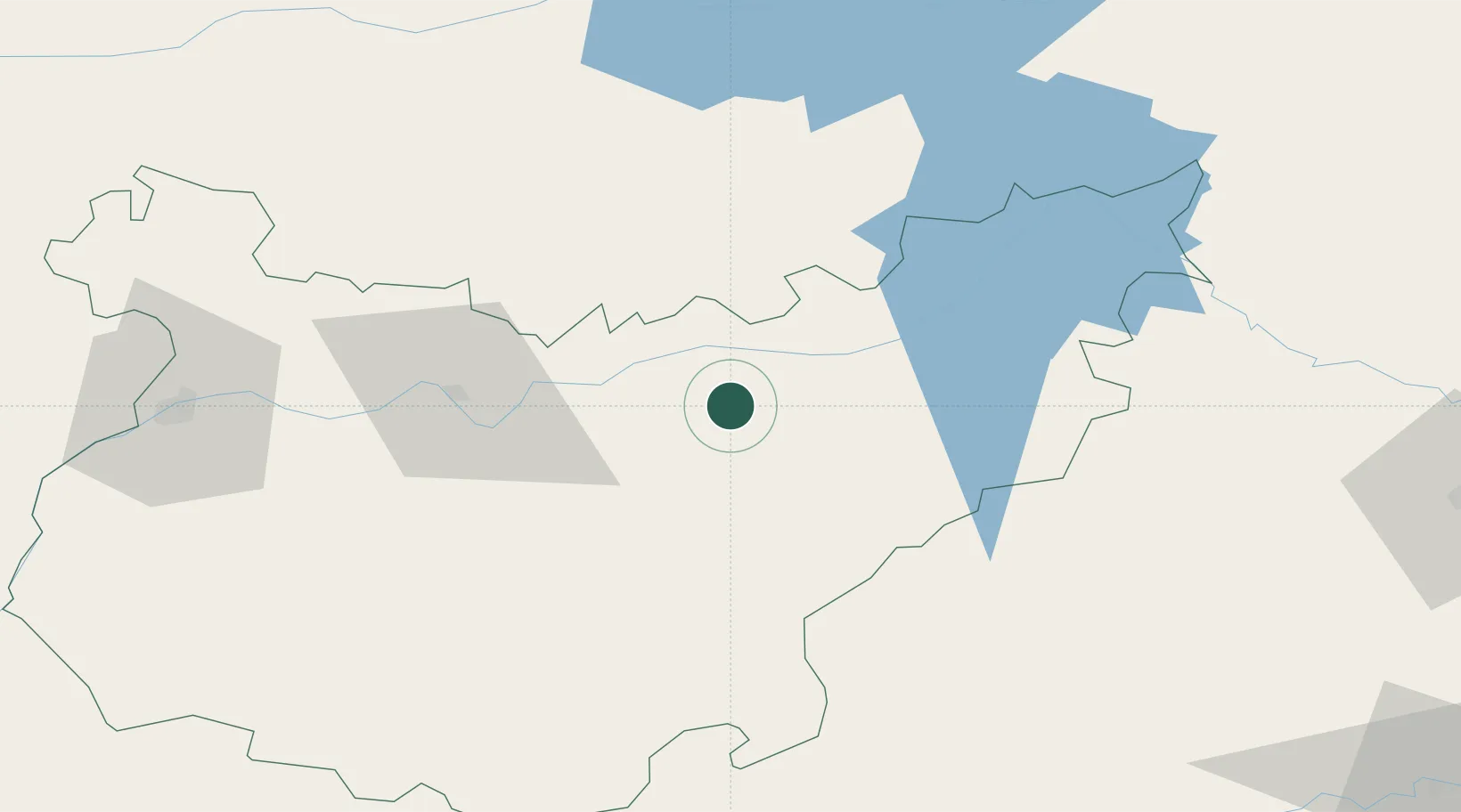
Nearby Logistics Neighbours

Cities
  1. 1La Coronada6 km
  2. 2La Haba6 km
  3. 3Valdivia15 km
  4. 4Zurbaran17 km
  5. 5Orellana la Vieja21 km
Nearest neighbours — logibook spatial index (haversine) over the source coordinates
Ports
  1. 1Sevilla172 km
  2. 2Huelva212 km
  3. 3Vila Real De S Antonio240 km
  4. 4Rota259 km
  5. 5Cadiz268 km
Nearest neighbours — logibook spatial index (haversine) over the source coordinates
Airports
  1. 1Badajoz Airport94 km
  2. 2Córdoba Airport141 km
  3. 3Ciudad Real International Airport153 km
  4. 4Madroñalejos Forest Fire fighting Heliport159 km
  5. 5Estremoz Municipal Heliport163 km
Nearest neighbours — logibook spatial index (haversine) over the source coordinates
Trade Zones
  1. 1Zona Franca de Sevilla176 km
  2. 2Puerto de Huelva212 km
  3. 3Depósito Franco de Málaga232 km
  4. 4Depósito Franco de Madrid-Aeropuerto253 km
  5. 5Zona Franca de Cádiz271 km
Nearest neighbours — logibook spatial index (haversine) over the source coordinates
DatabookThe Record of Consolidated Knowledge
Spain beyond logistics?
Browse databook

All Sources

LocationsUN/LOCODE
UN/LOCODE — free
LocationsGeoNames
CC BY 4.0
Portsthe NGA World Port Index
Public domain (US gov)
AirportsOurAirports
Public domain
Trade Zonesthe World Bank SEZ database
CC BY 4.0
Trade ZonesOpen Zone Map
CC BY
← Spain locations