Transport Functions
Multimodal
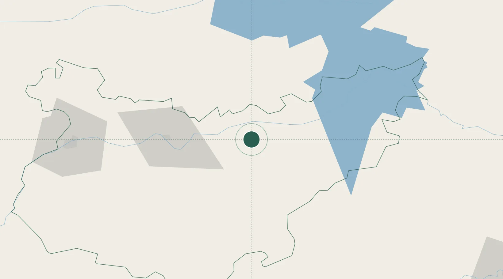
Hub Profile
Place type
Populated place
Region
Extremadura
Population
1,247
Time zone
Europe/Madrid
Elevation
313 m
Location
Nearby Logistics Neighbours
Cities
- 1Magacela6 km
- 2La Coronada12 km
- 3Medellin15 km
- 4Valdivia16 km
- 5Zurbaran17 km
Ports
- 1Sevilla173 km
- 2Huelva211 km
- 3Vila Real De S Antonio238 km
- 4Rota260 km
- 5Cadiz269 km
Airports
- 1Badajoz Airport88 km
- 2Córdoba Airport145 km
- 3Estremoz Municipal Heliport157 km
- 4Ciudad Real International Airport159 km
- 5Madroñalejos Forest Fire fighting Heliport159 km
Trade Zones
- 1Zona Franca de Sevilla177 km
- 2Puerto de Huelva210 km
- 3Depósito Franco de Málaga236 km
- 4Depósito Franco de Madrid-Aeropuerto256 km
- 5Zona Franca de Cádiz272 km
DatabookThe Record of Consolidated Knowledge
Spain beyond logistics?