UN/LOCODE hub · Spain
ESKRD

La Coronada

38.9167°, -5.6667°
2,182
Population
1
Transport functions

Transport Functions

Multimodal
UN/LOCODE

Hub Profile

Place type
Populated place
GeoNames
Region
Extremadura
GeoNames
Population
2,182
GeoNames
Time zone
Europe/Madrid
GeoNames
Elevation
349 m
GeoNames

Location

Location of ESKRD
Natural Earth 10m (public domain) · Extremadura · ESKRD · 38.92, -5.67GoogleOSMYandex

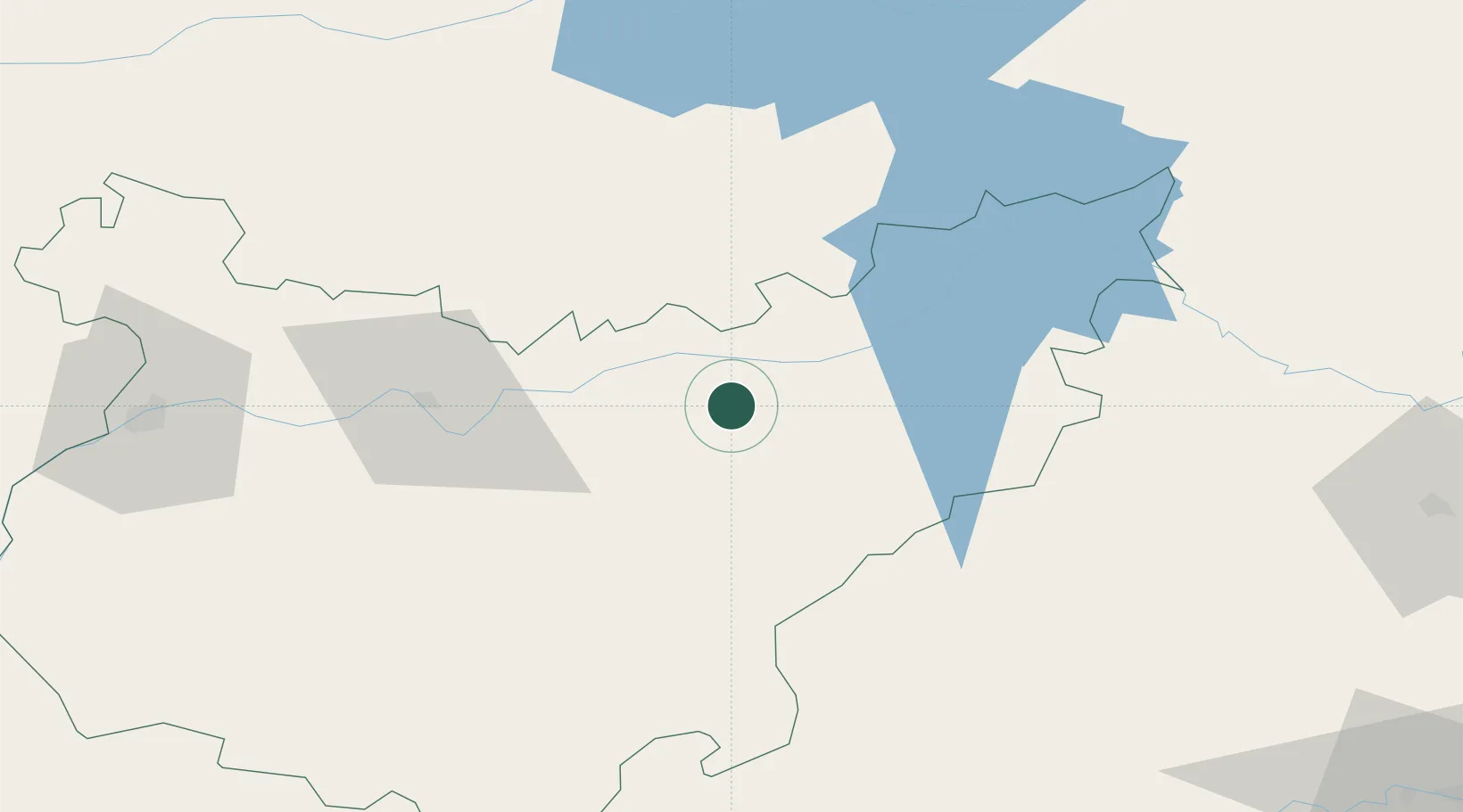
Nearby Logistics Neighbours

Cities
  1. 1Magacela6 km
  2. 2La Haba12 km
  3. 3Valdivia13 km
  4. 4Orellana la Vieja15 km
  5. 5Zurbaran15 km
Nearest neighbours — logibook spatial index (haversine) over the source coordinates
Ports
  1. 1Sevilla175 km
  2. 2Huelva217 km
  3. 3Vila Real De S Antonio245 km
  4. 4Rota262 km
  5. 5Malaga268 km
Nearest neighbours — logibook spatial index (haversine) over the source coordinates
Airports
  1. 1Badajoz Airport100 km
  2. 2Córdoba Airport139 km
  3. 3Ciudad Real International Airport147 km
  4. 4Madroñalejos Forest Fire fighting Heliport163 km
  5. 5Seville Airport168 km
Nearest neighbours — logibook spatial index (haversine) over the source coordinates
Trade Zones
  1. 1Zona Franca de Sevilla178 km
  2. 2Puerto de Huelva216 km
  3. 3Depósito Franco de Málaga231 km
  4. 4Depósito Franco de Madrid-Aeropuerto247 km
  5. 5Zona Franca de Cádiz274 km
Nearest neighbours — logibook spatial index (haversine) over the source coordinates
DatabookThe Record of Consolidated Knowledge
Spain beyond logistics?
Browse databook

All Sources

LocationsUN/LOCODE
UN/LOCODE — free
LocationsGeoNames
CC BY 4.0
Portsthe NGA World Port Index
Public domain (US gov)
AirportsOurAirports
Public domain
Trade Zonesthe World Bank SEZ database
CC BY 4.0
Trade ZonesOpen Zone Map
CC BY
← Spain locations