UN/LOCODE hub · Spain
ESZKN
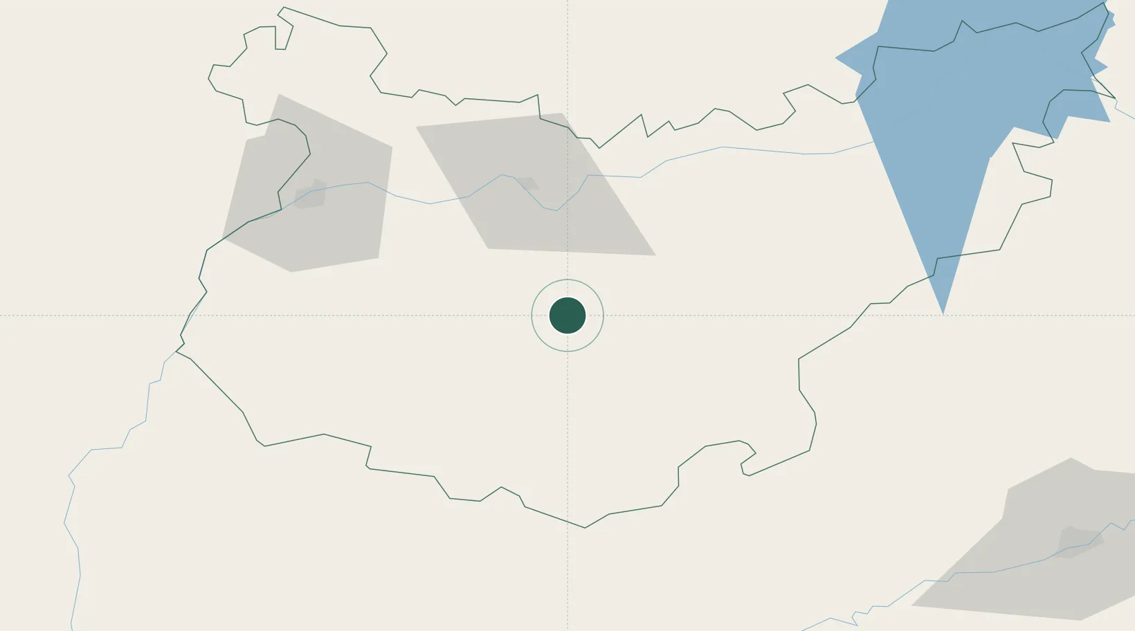
Ribera del Fresno
38.5500°, -6.2333°
3,291
Population
1
Transport functions
Transport Functions
Multimodal
Hub Profile
Place type
District seat
Region
Extremadura
Population
3,291
Time zone
Europe/Madrid
Elevation
404 m
Location
Nearby Logistics Neighbours
Cities
- 1Los Santos de Maimona17 km
- 2Fuente del Maestre19 km
- 3Llera19 km
- 4Puebla de Sancho Pérez22 km
- 5Valencia de Torres26 km
Ports
- 1Sevilla133 km
- 2Huelva158 km
- 3Vila Real De S Antonio183 km
- 4Rota215 km
- 5Cadiz224 km
Airports
- 1Badajoz Airport64 km
- 2Madroñalejos Forest Fire fighting Heliport113 km
- 3Estremoz Municipal Heliport123 km
- 4Seville Airport129 km
- 5Évora Airfield144 km
Trade Zones
- 1Zona Franca de Sevilla137 km
- 2Puerto de Huelva157 km
- 3Depósito Franco de Málaga225 km
- 4Zona Franca de Cádiz228 km
- 5Depósito Franco de Algeciras279 km
DatabookThe Record of Consolidated Knowledge
Spain beyond logistics?