Transport Functions
Multimodal
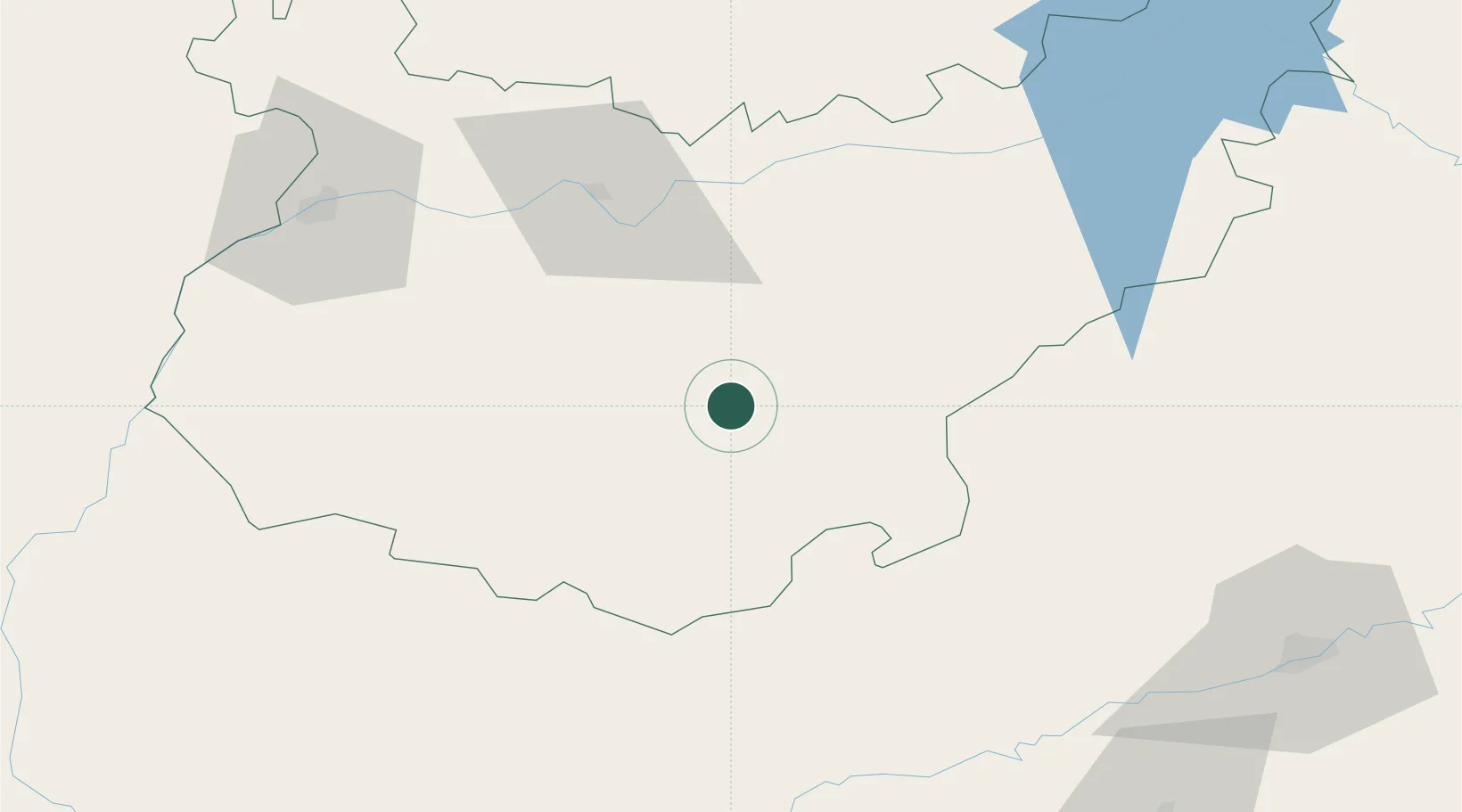
Hub Profile
Place type
District seat
Region
Extremadura
Population
943
Time zone
Europe/Madrid
Elevation
440 m
Location
Nearby Logistics Neighbours
Cities
- 1Valencia de Torres7 km
- 2Ribera del Fresno19 km
- 3Maguilla21 km
- 4Llerena24 km
- 5Berlanga28 km
Ports
- 1Sevilla121 km
- 2Huelva155 km
- 3Vila Real De S Antonio184 km
- 4Rota205 km
- 5Cadiz214 km
Airports
- 1Badajoz Airport83 km
- 2Madroñalejos Forest Fire fighting Heliport104 km
- 3Seville Airport116 km
- 4Córdoba Airport125 km
- 5Estremoz Municipal Heliport142 km
Trade Zones
- 1Zona Franca de Sevilla124 km
- 2Puerto de Huelva155 km
- 3Depósito Franco de Málaga206 km
- 4Zona Franca de Cádiz218 km
- 5Depósito Franco de Algeciras264 km
DatabookThe Record of Consolidated Knowledge
Spain beyond logistics?