UN/LOCODE hub · Spain
ESCHZ
Puebla de Sancho Pérez
38.4000°, -6.4000°
2,861
Population
2
Transport functions
Transport Functions
Port
Multimodal
Hub Profile
Place type
District seat
Region
Extremadura
Population
2,861
Time zone
Europe/Madrid
Elevation
520 m
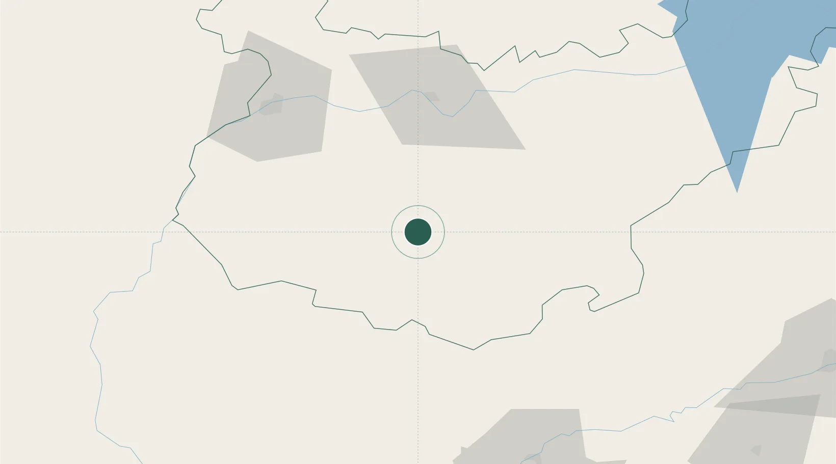
Location
Nearby Logistics Neighbours
Cities
- 1Los Santos de Maimona6 km
- 2Medina De Las Torres7 km
- 3Valencia del Ventoso16 km
- 4Fuente del Maestre17 km
- 5Fuente de Cantos19 km
Ports
- 1Sevilla120 km
- 2Huelva137 km
- 3Vila Real De S Antonio161 km
- 4Rota198 km
- 5Faro203 km
Airports
- 1Badajoz Airport66 km
- 2Madroñalejos Forest Fire fighting Heliport96 km
- 3Estremoz Municipal Heliport115 km
- 4Seville Airport118 km
- 5Évora Airfield131 km
Trade Zones
- 1Zona Franca de Sevilla124 km
- 2Puerto de Huelva136 km
- 3Zona Franca de Cádiz212 km
- 4Depósito Franco de Málaga224 km
- 5Depósito Franco de Algeciras267 km
DatabookThe Record of Consolidated Knowledge
Spain beyond logistics?