UN/LOCODE hub · Spain
ESVTR

Valencia de Torres

38.4000°, -6.0000°
1
Transport functions

Transport Functions

Multimodal
UN/LOCODE

Hub Profile

Region
BA
GeoNames

Location

Location of ESVTR
Natural Earth 10m (public domain) · BA · ESVTR · 38.40, -6.00GoogleOSMYandex

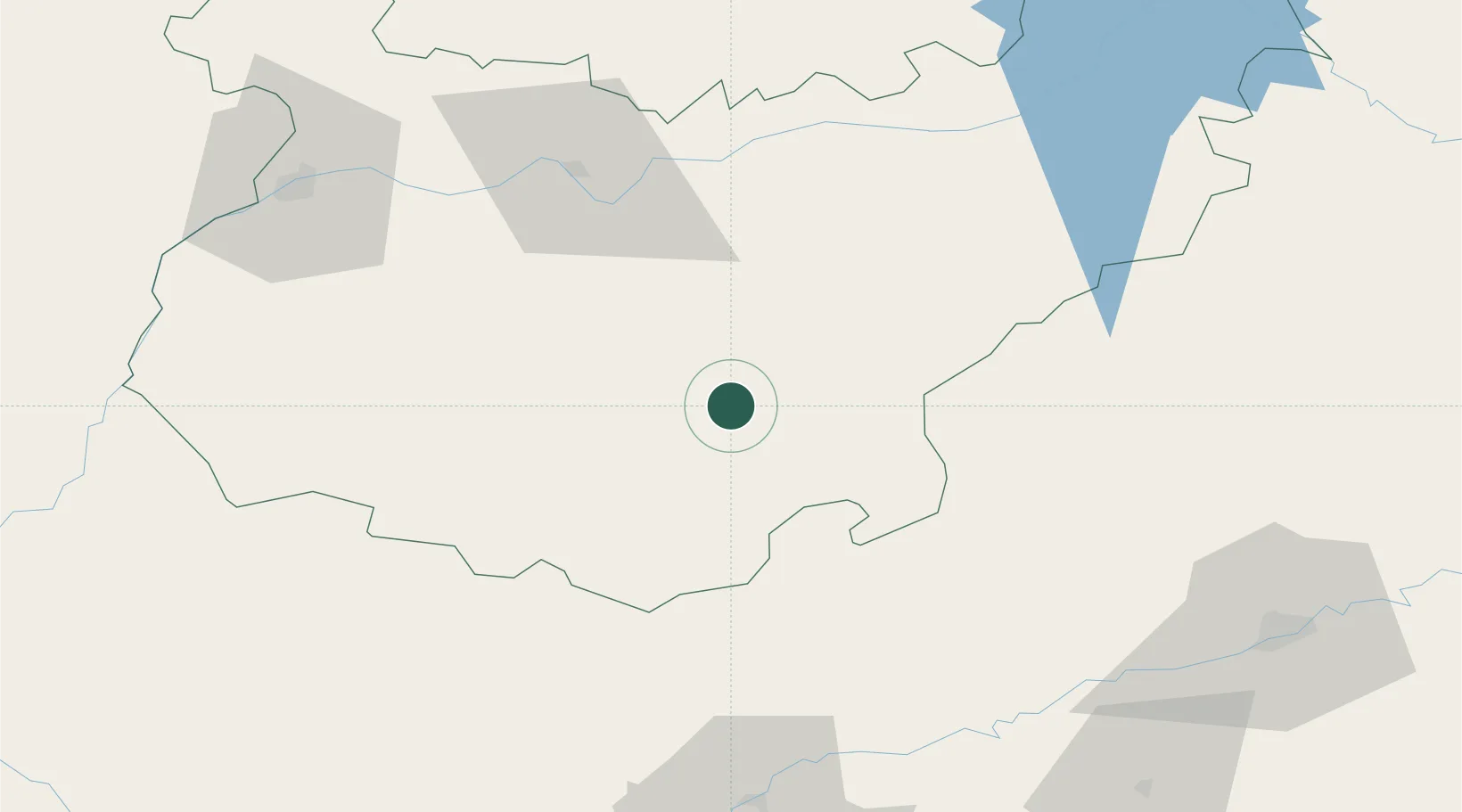
Nearby Logistics Neighbours

Cities
  1. 1Llera7 km
  2. 2Maguilla15 km
  3. 3Llerena19 km
  4. 4Berlanga21 km
  5. 5Valverde de Llerena26 km
Nearest neighbours — logibook spatial index (haversine) over the source coordinates
Ports
  1. 1Sevilla115 km
  2. 2Huelva153 km
  3. 3Vila Real De S Antonio183 km
  4. 4Rota201 km
  5. 5Cadiz209 km
Nearest neighbours — logibook spatial index (haversine) over the source coordinates
Airports
  1. 1Badajoz Airport90 km
  2. 2Madroñalejos Forest Fire fighting Heliport99 km
  3. 3Seville Airport110 km
  4. 4Córdoba Airport118 km
  5. 5Moron Air Base140 km
Nearest neighbours — logibook spatial index (haversine) over the source coordinates
Trade Zones
  1. 1Zona Franca de Sevilla119 km
  2. 2Puerto de Huelva152 km
  3. 3Depósito Franco de Málaga199 km
  4. 4Zona Franca de Cádiz212 km
  5. 5Depósito Franco de Algeciras258 km
Nearest neighbours — logibook spatial index (haversine) over the source coordinates
DatabookThe Record of Consolidated Knowledge
Spain beyond logistics?
Browse databook

All Sources

LocationsUN/LOCODE
UN/LOCODE — free
Portsthe NGA World Port Index
Public domain (US gov)
AirportsOurAirports
Public domain
Trade Zonesthe World Bank SEZ database
CC BY 4.0
Trade ZonesOpen Zone Map
CC BY
← Spain locations