Transport Functions
Rail
Road
Hub Profile
Place type
District seat
Region
Andalusia
Population
3,241
Time zone
Europe/Madrid
Elevation
404 m
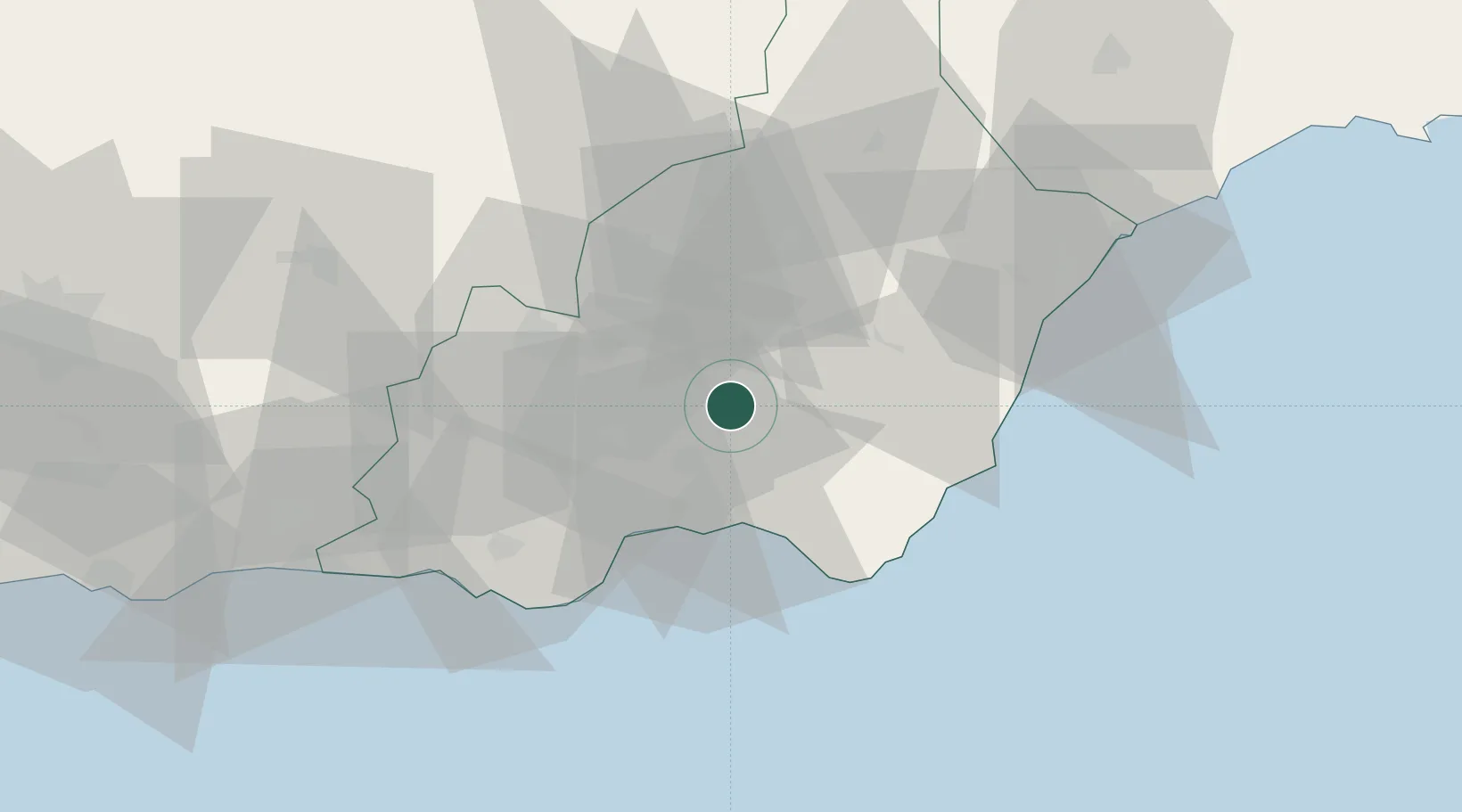
Location
Nearby Logistics Neighbours
Cities
- 1Viator19 km
- 2Huércal de Almería19 km
- 3El Alquian22 km
- 4Insticio25 km
- 5Almería25 km
Ports
- 1Almeria25 km
- 2Puerto De Carboneras45 km
- 3Puerto De Garrucha52 km
- 4Adra68 km
- 5Aguilas82 km
Airports
- 1Almería Airport23 km
- 2Armilla Air Base112 km
- 3F.G.L. Airport Granada-Jaén Airport125 km
- 4Region of Murcia International Airport139 km
- 5Alcantarilla Air Base143 km
Trade Zones
- 1Depósito Franco de Málaga190 km
- 2Melilla Autonomous Community202 km
- 3Nador WestMed Free Zone214 km
- 4Depósito Franco de Alicante220 km
- 5Berkane Agro-Pole233 km
DatabookThe Record of Consolidated Knowledge
Spain beyond logistics?