Transport Functions
Port
Hub Profile
Place type
District seat
Region
Murcia
Population
34,533
Time zone
Europe/Madrid
Elevation
23 m
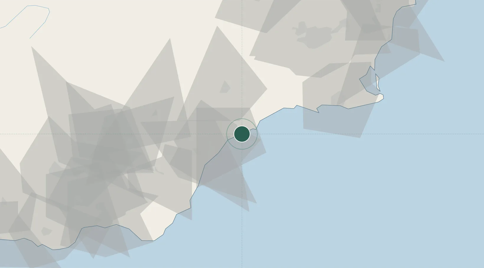
Location
Nearby Logistics Neighbours
Cities
- 1Pulpi15 km
- 2Almendricos19 km
- 3Vera30 km
- 4Huercal Overa32 km
- 5Antas35 km
Ports
- 1Puerto De Garrucha32 km
- 2Puerto De Carboneras52 km
- 3Cartagena57 km
- 4Almeria101 km
- 5Torrevieja101 km
Airports
Trade Zones
- 1Depósito Franco de Alicante142 km
- 2Depósito Franco de Valencia253 km
- 3Depósito Franco de Málaga263 km
- 4Melilla Autonomous Community264 km
- 5Nador WestMed Free Zone279 km
DatabookThe Record of Consolidated Knowledge
Spain beyond logistics?