Transport Functions
Port
Multimodal
Hub Profile
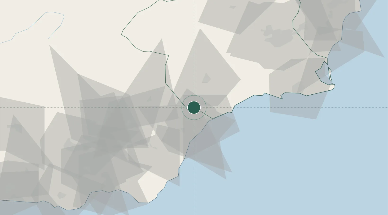
Place type
Populated place
Region
Murcia
Population
1,855
Time zone
Europe/Madrid
Elevation
314 m
Location
Nearby Logistics Neighbours
Cities
- 1Pulpi8 km
- 2Huercal Overa17 km
- 3Aguilas19 km
- 4Vera25 km
- 5Antas29 km
Ports
- 1Aguilas21 km
- 2Puerto De Garrucha32 km
- 3Puerto De Carboneras53 km
- 4Cartagena72 km
- 5Almeria93 km
Airports
Trade Zones
- 1Depósito Franco de Alicante149 km
- 2Depósito Franco de Málaga247 km
- 3Depósito Franco de Valencia255 km
- 4Melilla Autonomous Community263 km
- 5Nador WestMed Free Zone277 km
DatabookThe Record of Consolidated Knowledge
Spain beyond logistics?