Large airport · Spain

Alicante-Elche Miguel Hernández AirportLEAL
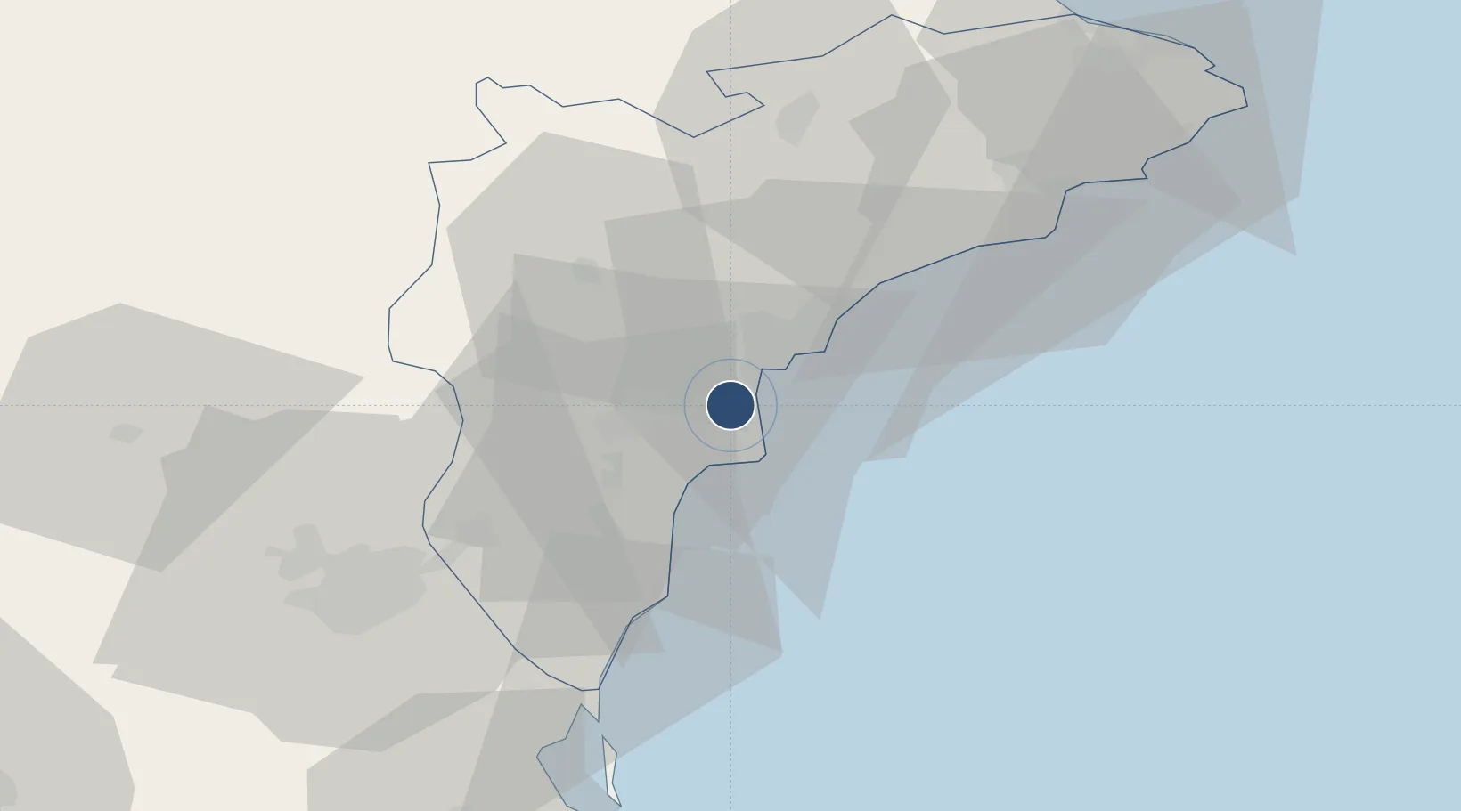
38.2822°, -0.5582°
9,842 ft
Longest runway
1
Runways
142 ft
Elevation

Runway & Layout

Alicante-Elche Miguel Hernández Airport runway & taxiway layout
Runway & taxiway layout — OpenStreetMap (ODbL) / OurAirports

Radio Frequencies

ATIS
113.8 MHz
TWR
118.15 MHz
GND
121.7 MHz
APP
118.8 MHz
OurAirports

Navaids

ALT VOR-DME Alicante 113.80 MHz
ATE VOR-DME Alicante 114.65 MHz
OurAirports

Runways · 1

RunwayDimensions SurfaceTrue headingLit
10/28 9,842 × 148ft Asphalt 100°
OurAirports

Airport Specifications

IATA code
ALC
OurAirports
ICAO code
LEAL
OurAirports
Airport class
Large airport
OurAirports
Scheduled service
Yes
OurAirports
Runway surface
Asphalt
OurAirports
Served city
Alicante
OurAirports

Location

Location of LEAL
Natural Earth 10m (public domain) · Alicante · LEAL · 38.28, -0.56GoogleOSMYandex

Nearby Logistics Neighbours

Airports
  1. 1San Javier Airport61 km
  2. 2Alcantarilla Air Base69 km
  3. 3Region of Murcia International Airport73 km
  4. 4Valencia Airport134 km
  5. 5Albacete Airport / Los Llanos Air Base136 km
Nearest neighbours — logibook spatial index (haversine) over the source coordinates
Cities
  1. 1Torrellano2 km
  2. 2Alicante7 km
  3. 3Montesinos16 km
  4. 4San Juan de Alicante17 km
  5. 5Muchamiel19 km
Nearest neighbours — logibook spatial index (haversine) over the source coordinates
Ports
  1. 1Alicante9 km
  2. 2Torrevieja37 km
  3. 3Cartagena86 km
  4. 4Puerto De Gandia87 km
  5. 5Valencia132 km
Nearest neighbours — logibook spatial index (haversine) over the source coordinates
Trade Zones
  1. 1Depósito Franco de Alicante8 km
  2. 2Depósito Franco de Valencia131 km
  3. 3Depósito Franco de Tarragona351 km
  4. 4Depósito Franco de Madrid-Aeropuerto355 km
  5. 5Depósito Franco de Zaragoza374 km
Nearest neighbours — logibook spatial index (haversine) over the source coordinates
DatabookThe Record of Consolidated Knowledge
Spain beyond logistics?
Browse databook

All Sources

AirportsOurAirports
Public domain
Portsthe NGA World Port Index
Public domain (US gov)
LocationsUN/LOCODE
UN/LOCODE — free
Trade Zonesthe World Bank SEZ database
CC BY 4.0
Trade ZonesOpen Zone Map
CC BY
InfrastructureOpenStreetMap
ODbL 1.0
← Spain airports