Transport Functions
Multimodal
Hub Profile
Place type
District seat
Region
Canary Islands
Population
21,690
Time zone
Atlantic/Canary
Elevation
238 m
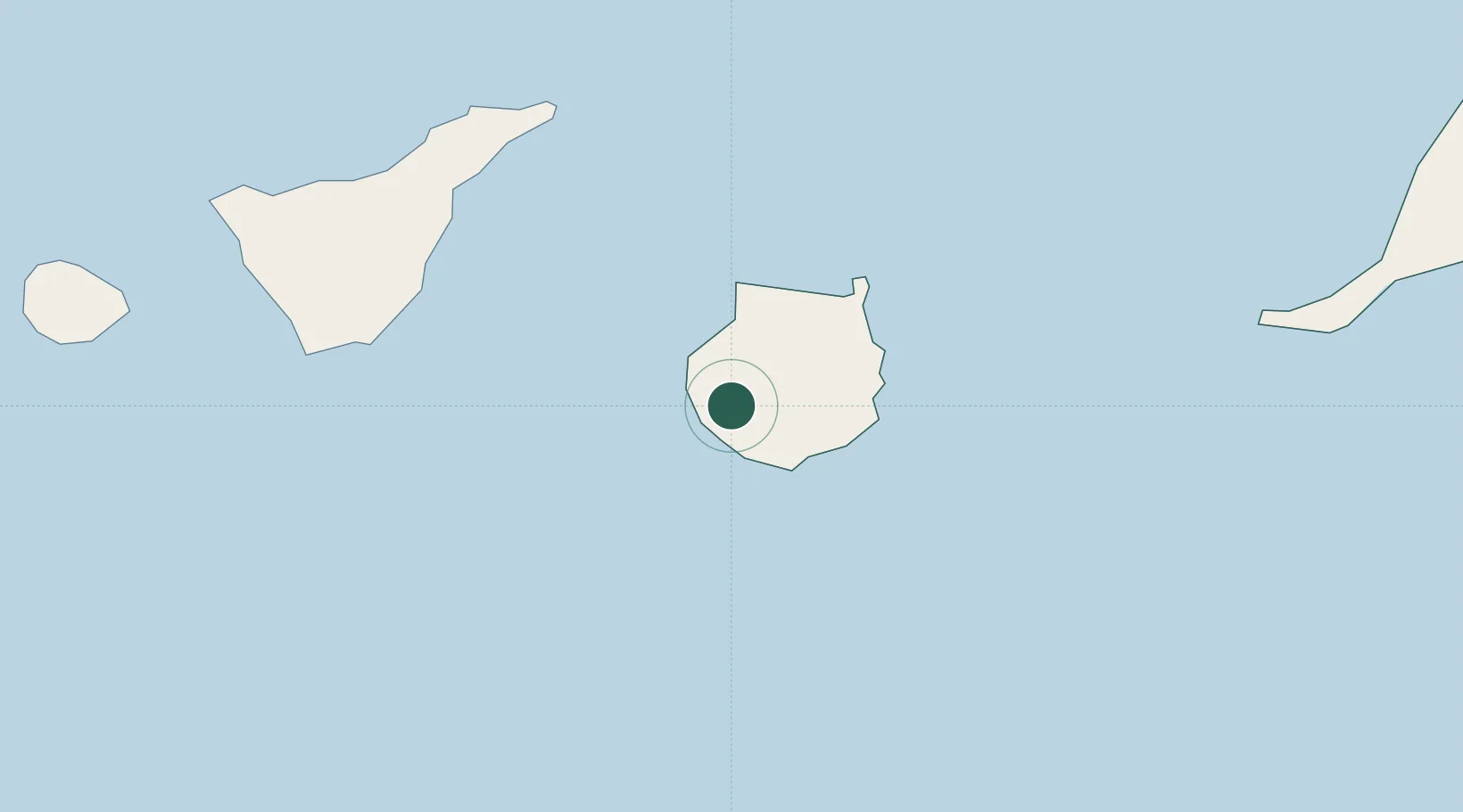
Location
Nearby Logistics Neighbours
Cities
- 1El Chorrillo12 km
- 2Sant Bartolome de Tirajana17 km
- 3Santa Lucia de Tirajana18 km
- 4Playa Ingles18 km
- 5Agaete26 km
Ports
- 1Las Palmas42 km
- 2Santa Cruz De Tenerife82 km
- 3Puerto Del Rosario195 km
- 4Santa Cruz De La Palma218 km
- 5Laayoune242 km
Airports
- 1Gran Canaria Airport33 km
- 2Tenerife Sur Airport86 km
- 3Tenerife Norte-Ciudad de La Laguna Airport91 km
- 4La Gomera Airport148 km
- 5Fuerteventura Airport192 km
Trade Zones
DatabookThe Record of Consolidated Knowledge
Spain beyond logistics?