Transport Functions
Multimodal
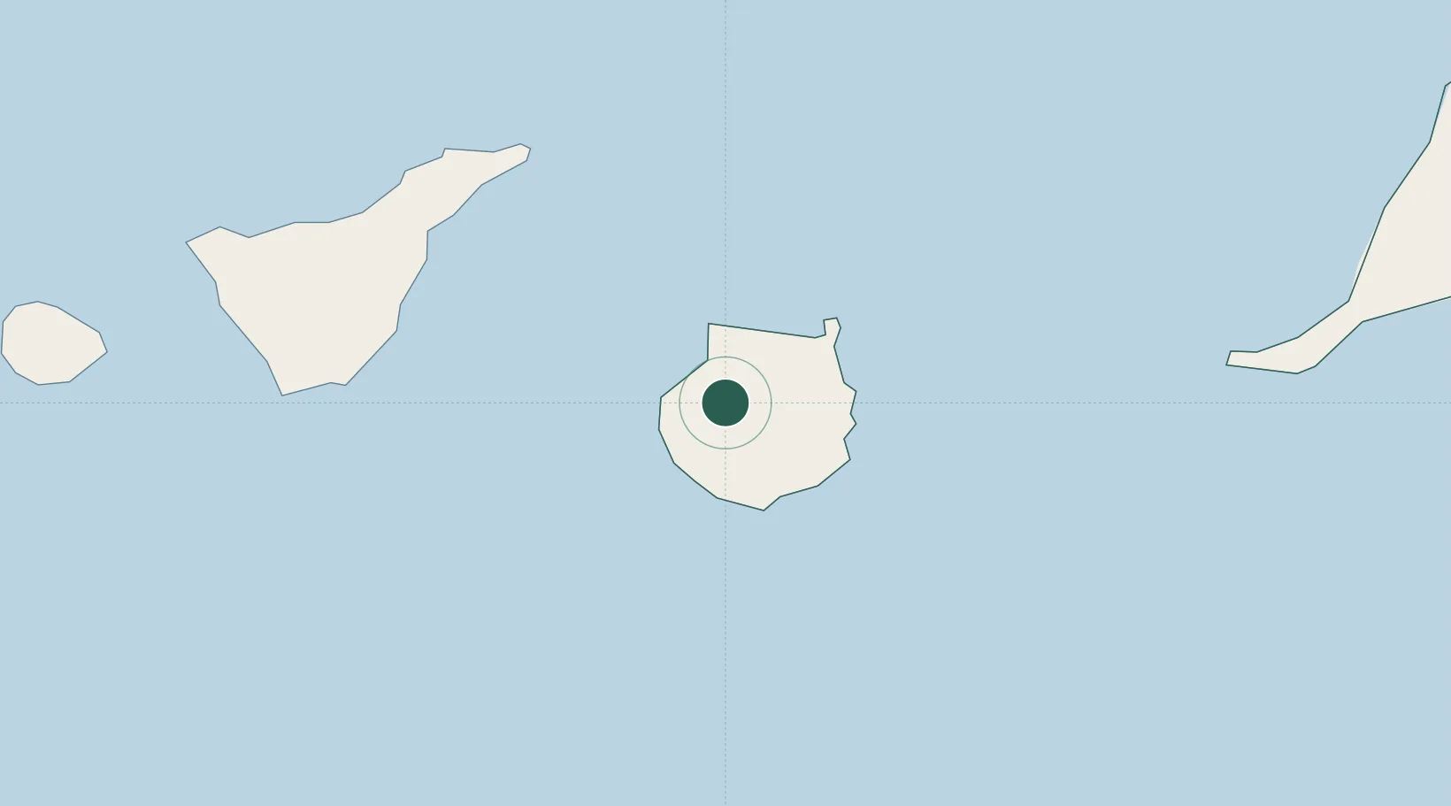
Hub Profile
Place type
Populated place
Region
Canary Islands
Time zone
Atlantic/Canary
Elevation
635 m
Location
Nearby Logistics Neighbours
Cities
- 1Mogan12 km
- 2Agaete15 km
- 3Santa Lucia de Tirajana16 km
- 4Santa Brigida17 km
- 5Galdar19 km
Ports
- 1Las Palmas31 km
- 2Santa Cruz De Tenerife77 km
- 3Puerto Del Rosario187 km
- 4Santa Cruz De La Palma218 km
- 5Arrecife235 km
Airports
- 1Gran Canaria Airport28 km
- 2Tenerife Norte-Ciudad de La Laguna Airport86 km
- 3Tenerife Sur Airport89 km
- 4La Gomera Airport152 km
- 5Fuerteventura Airport184 km
Trade Zones
DatabookThe Record of Consolidated Knowledge
Spain beyond logistics?