Transport Functions
Multimodal
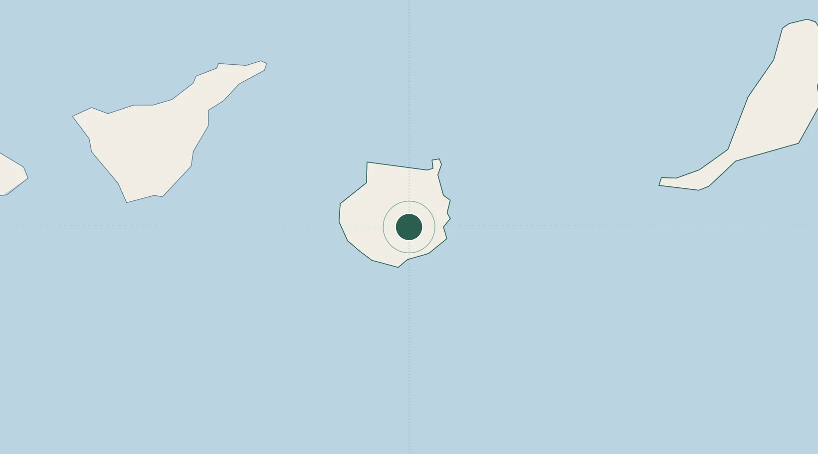
Location
Nearby Logistics Neighbours
Cities
- 1Sant Bartolome de Tirajana10 km
- 2Vecindario12 km
- 3Juan Grande13 km
- 4Carrizal13 km
- 5Castillo del Romeral14 km
Ports
- 1Las Palmas30 km
- 2Santa Cruz De Tenerife93 km
- 3Puerto Del Rosario178 km
- 4Laayoune226 km
- 5Arrecife228 km
Airports
- 1Gran Canaria Airport15 km
- 2Tenerife Norte-Ciudad de La Laguna Airport102 km
- 3Tenerife Sur Airport103 km
- 4La Gomera Airport166 km
- 5Fuerteventura Airport175 km
Trade Zones
DatabookThe Record of Consolidated Knowledge
Spain beyond logistics?