Transport Functions
Port
Hub Profile
Place type
District seat
Region
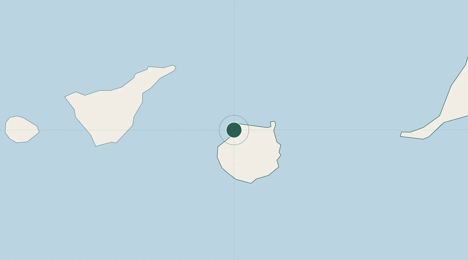
Canary Islands
Population
5,459
Time zone
Atlantic/Canary
Elevation
55 m
Location
Nearby Logistics Neighbours
Cities
- 1Galdar6 km
- 2El Chorrillo15 km
- 3Arucas18 km
- 4Arucas18 km
- 5Santa Brigida22 km
Ports
- 1Las Palmas28 km
- 2Santa Cruz De Tenerife65 km
- 3Puerto Del Rosario186 km
- 4Santa Cruz De La Palma210 km
- 5Arrecife231 km
Airports
- 1Gran Canaria Airport37 km
- 2Tenerife Norte-Ciudad de La Laguna Airport75 km
- 3Tenerife Sur Airport86 km
- 4La Gomera Airport149 km
- 5Fuerteventura Airport184 km
Trade Zones
DatabookThe Record of Consolidated Knowledge
Spain beyond logistics?