Transport Functions
Multimodal
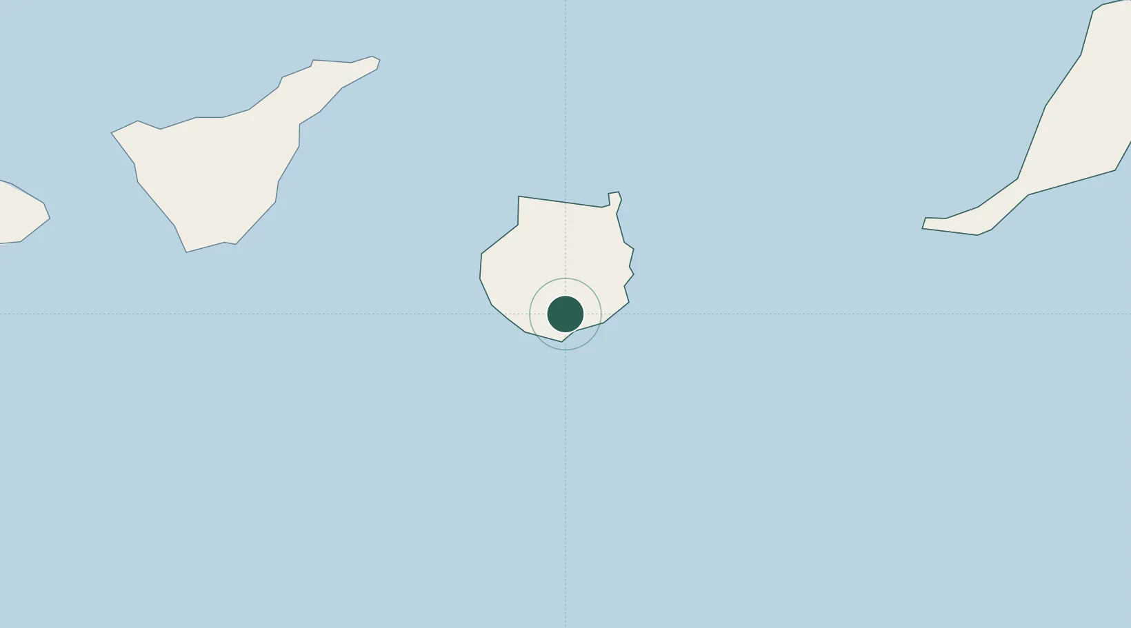
Location
Nearby Logistics Neighbours
Cities
- 1Playa Ingles6 km
- 2Santa Lucia de Tirajana10 km
- 3Juan Grande10 km
- 4Castillo del Romeral12 km
- 5Vecindario13 km
Ports
- 1Las Palmas40 km
- 2Santa Cruz De Tenerife98 km
- 3Puerto Del Rosario185 km
- 4Laayoune226 km
- 5Santa Cruz De La Palma235 km
Airports
- 1Gran Canaria Airport22 km
- 2Tenerife Sur Airport102 km
- 3Tenerife Norte-Ciudad de La Laguna Airport106 km
- 4La Gomera Airport164 km
- 5Fuerteventura Airport181 km
Trade Zones
DatabookThe Record of Consolidated Knowledge
Spain beyond logistics?