Transport Functions
Multimodal
Hub Profile
Place type
District seat
Region
Castille and León
Population
119
Time zone
Europe/Madrid
Elevation
844 m
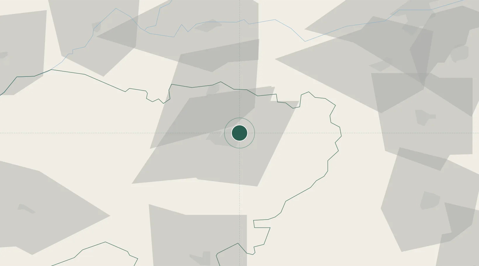
Location
Nearby Logistics Neighbours
Cities
- 1Gomecello6 km
- 2Pedrosillo el Ralo8 km
- 3Palencia De Negrilla11 km
- 4Aldeatejada13 km
- 5Anover De Tormes32 km
Ports
- 1Oporto259 km
- 2Aveiro261 km
- 3Porto De Leixoes262 km
- 4Viana Do Castelo282 km
- 5Gijon284 km
Airports
- 1Salamanca Airport9 km
- 2Valladolid Airport100 km
- 3Bragança Airport134 km
- 4Madrid-Cuatro Vientos Airport167 km
- 5Getafe Air Base175 km
Trade Zones
DatabookThe Record of Consolidated Knowledge
Spain beyond logistics?