Export Processing Zone · Spain
Depósito Franco de Gijón Active
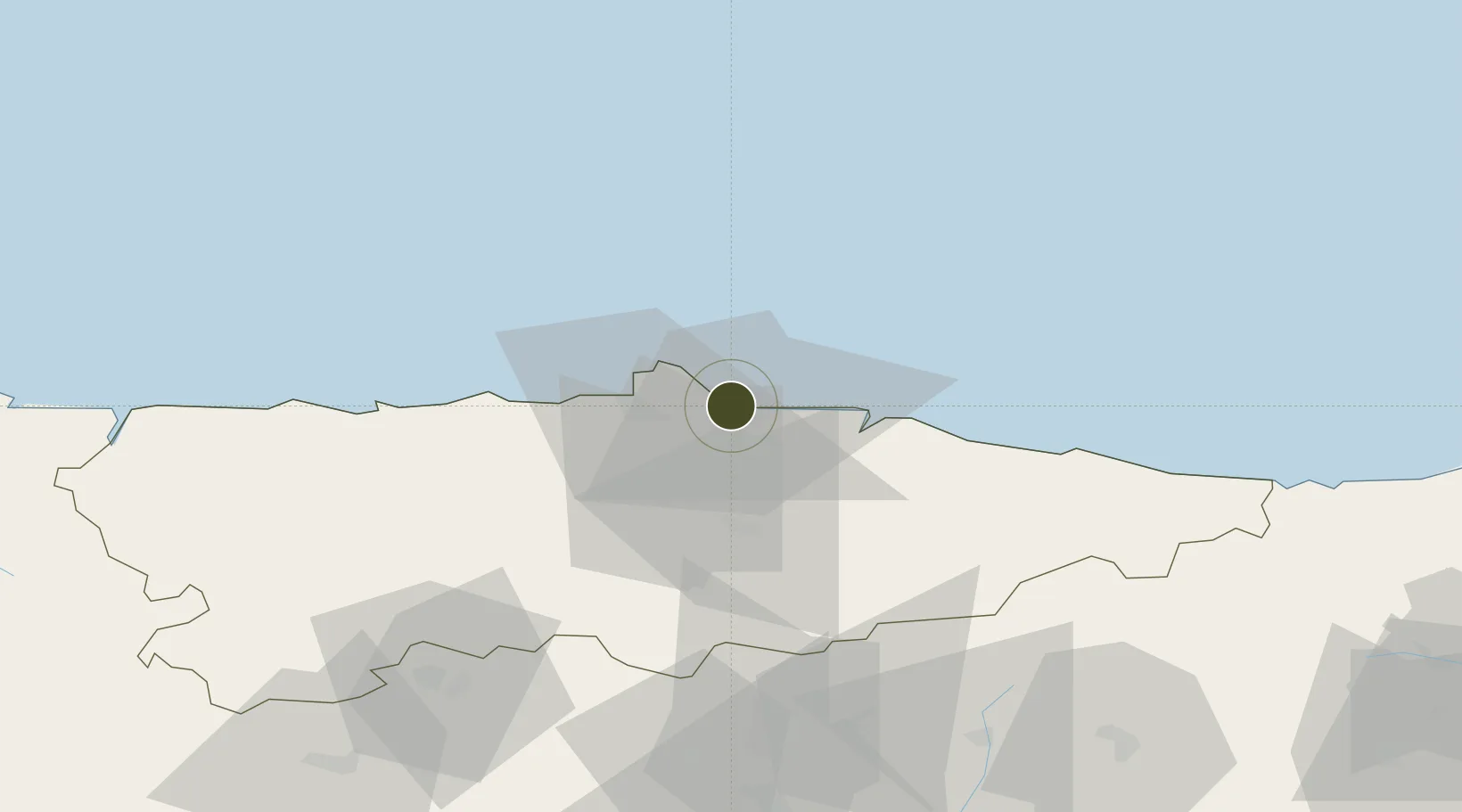
43.5647°, -5.6936°
0 ha
Zone area
2.7 km
Nearest port
27.5 km
Nearest airport
Gateway access
Zone profile
Zone type
Export Processing Zone
Region
Asturias
Status
Active
Management
Private
Operator
Asociación Española de Concesionarios de Zonas y Depósitos Francos
Legal framework
Real Decreto-Ley N. 1491
Location
Nearby Logistics Neighbours
Ports
- 1Gijon3 km
- 2Aviles20 km
- 3Ribadeo108 km
- 4San Ciprian141 km
- 5Santander154 km
Airports
- 1Asturias Airport28 km
- 2León Int'l Airport108 km
- 3Seve Ballesteros-Santander Airport152 km
- 4Bragança Airport207 km
- 5Burgos Airport216 km
Cities
- 1Musel-Arnao1 km
- 2Gijón3 km
- 3Tremanes4 km
- 4Verina4 km
- 5Porceyo7 km
Trade Zones
- 1Zona Franca de Santander152 km
- 2Depósito Franco de Villafría (Burgos)208 km
- 3Depósito Franco de Bilbao216 km
- 4Depósito Franco de La Coruña219 km
- 5Zona Franca de Vigo290 km
DatabookThe Record of Consolidated Knowledge
Spain beyond logistics?