Transport Functions
Multimodal
Hub Profile
Place type
District seat
Region
Castille and León
Time zone
Europe/Madrid
Elevation
825 m
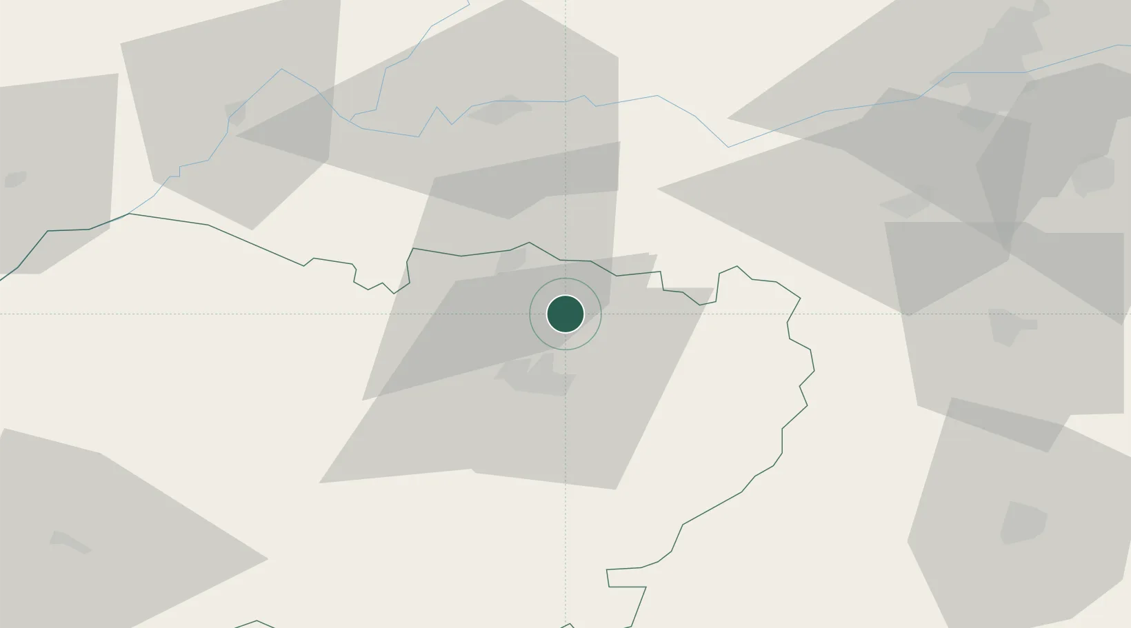
Location
Nearby Logistics Neighbours
Cities
- 1Pedrosillo el Ralo6 km
- 2Gomecello9 km
- 3Moriscos11 km
- 4Aldeatejada22 km
- 5Fuentespreadas24 km
Ports
- 1Oporto257 km
- 2Porto De Leixoes260 km
- 3Aveiro261 km
- 4Gijon273 km
- 5Viana Do Castelo278 km
Airports
- 1Salamanca Airport18 km
- 2Valladolid Airport92 km
- 3Bragança Airport125 km
- 4León Int'l Airport166 km
- 5Madrid-Cuatro Vientos Airport173 km
Trade Zones
DatabookThe Record of Consolidated Knowledge
Spain beyond logistics?