Seaport · Spain
GijonESGIJ
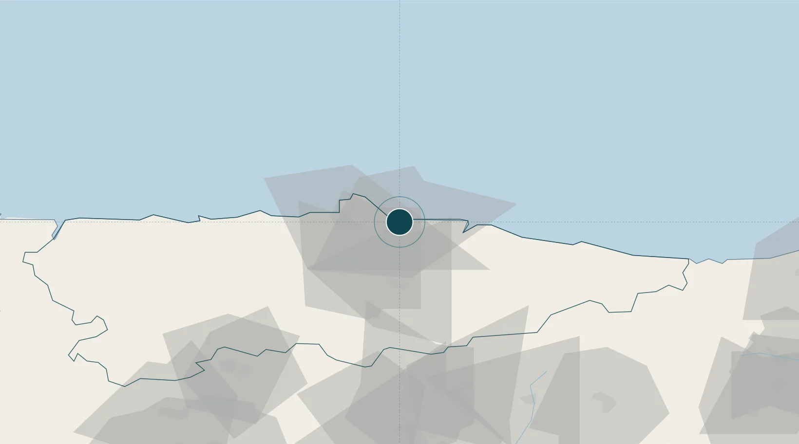
43.5500°, -5.6667°
18.6 m
Channel depth
1
Container terminals
56.2
Port liner connectivity
Channel & Berth Profile
Pilotage, Tugs & Services
Pilotage compulsoryYES
Pilotage availableYES
Pilotage advisableYES
Tug assistanceYES
Potable waterYES
Diesel bunkersYES
MedicalYES
Garbage disposalYES
Facilities & Capabilities
Container—
Ro-Ro—
Liquid bulk—
Dry bulk—
Oil terminal—
Break bulk—
Dry dockNO
RepairsNO
BunkeringYES
Rail linkYES
Dangerous cargo—
ISPS security—
Harbour Specifications
Harbour size
Small
Harbour type
Coastal (Breakwater)
Shelter
Good
Water body
Bay of Biscay; North Atlantic Ocean
Tidal range
3 m
Pilotage
Yes
Liner Connectivity
56.2
PLSCI
Port Liner Shipping Connectivity Index for Gijon, as published by UNCTAD for the latest available quarter. Higher values indicate stronger scheduled liner-shipping integration.
Shown relative to the highest per-port PLSCI in the dataset (1,657.9).
Location
Container Terminals · 1
TERMINAL GIJON
TEGIJ TERMINAL DE CONTENEDORES DE GIJON A.I.E.
Nearby Logistics Neighbours
Ports
- 1Aviles22 km
- 2Ribadeo110 km
- 3San Ciprian143 km
- 4Santander152 km
- 5Ferrol207 km
Cities
- 1Tremanes2 km
- 2Musel-Arnao3 km
- 3Verina4 km
- 4Cefontes6 km
- 5Porceyo6 km
Airports
- 1Asturias Airport30 km
- 2León Int'l Airport107 km
- 3Seve Ballesteros-Santander Airport150 km
- 4Bragança Airport207 km
- 5Burgos Airport213 km
Trade Zones
DatabookThe Record of Consolidated Knowledge
Spain beyond logistics?