Transport Functions
Road
Multimodal
Hub Profile
Place type
District seat
Region
Castille and León
Population
124
Time zone
Europe/Madrid
Elevation
815 m
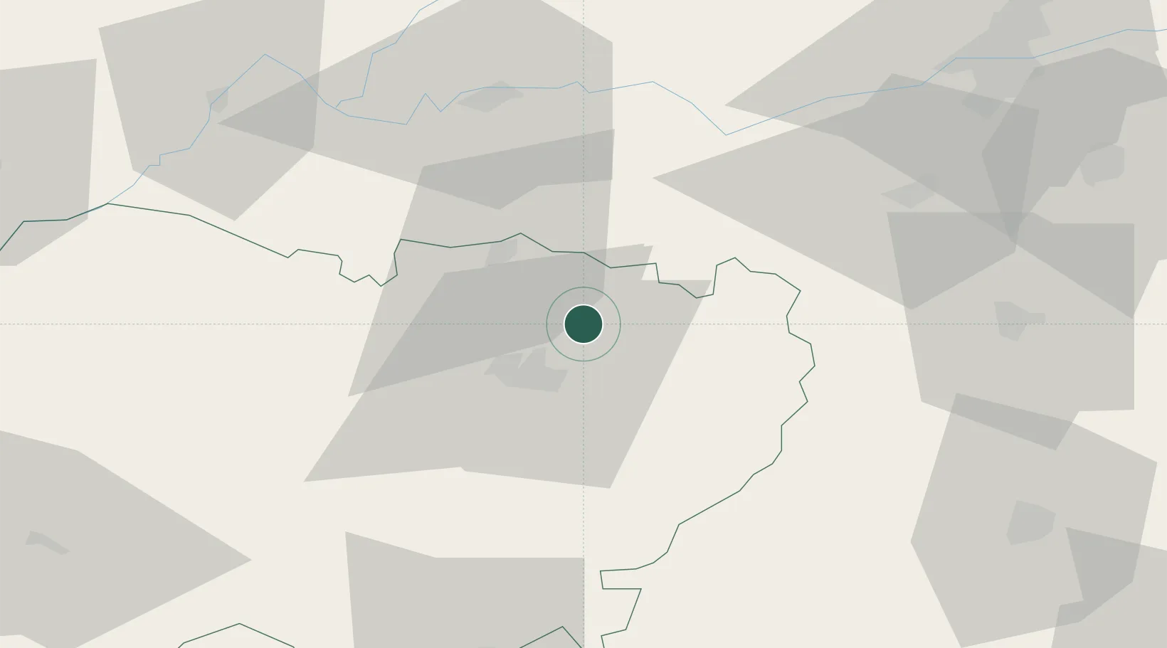
Location
Nearby Logistics Neighbours
Cities
- 1Gomecello4 km
- 2Palencia De Negrilla6 km
- 3Moriscos8 km
- 4Aldeatejada20 km
- 5Fuentespreadas28 km
Ports
- 1Oporto261 km
- 2Porto De Leixoes264 km
- 3Aveiro265 km
- 4Gijon276 km
- 5Viana Do Castelo283 km
Airports
- 1Salamanca Airport13 km
- 2Valladolid Airport92 km
- 3Bragança Airport131 km
- 4Madrid-Cuatro Vientos Airport168 km
- 5León Int'l Airport170 km
Trade Zones
DatabookThe Record of Consolidated Knowledge
Spain beyond logistics?