Transport Functions
Multimodal
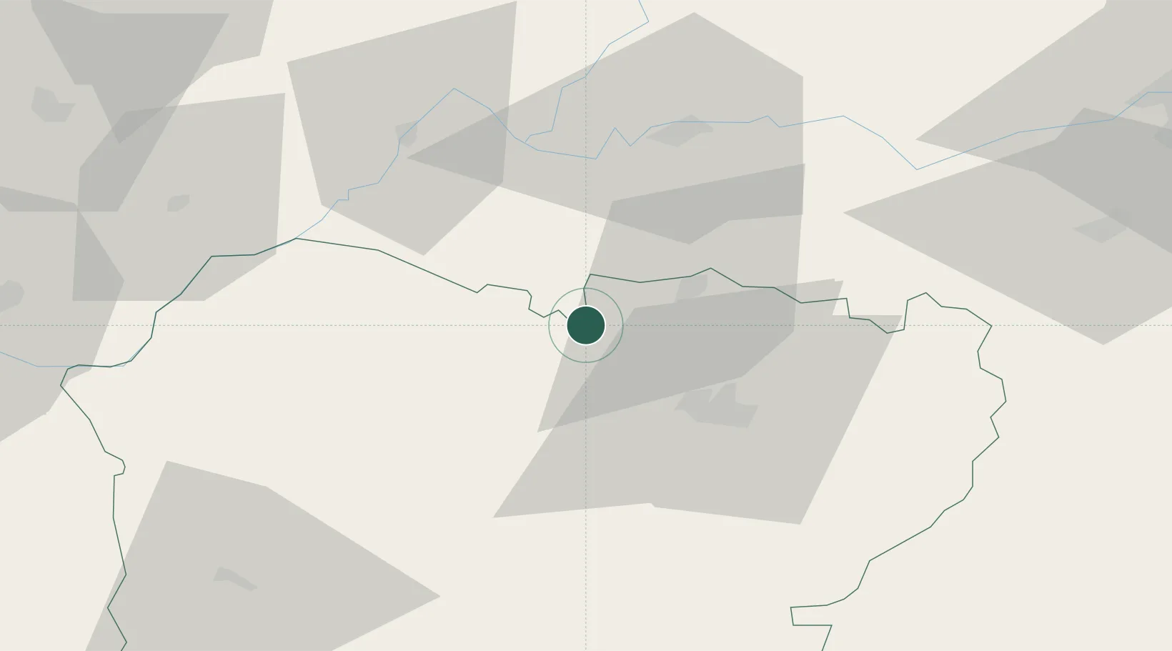
Hub Profile
Place type
District seat
Region
Castille and León
Population
100
Time zone
Europe/Madrid
Elevation
801 m
Location
Nearby Logistics Neighbours
Cities
- 1Palencia De Negrilla27 km
- 2Bermiyo Sallago30 km
- 3Aldeatejada31 km
- 4Pedrosillo el Ralo32 km
- 5Moriscos32 km
Ports
- 1Oporto230 km
- 2Porto De Leixoes233 km
- 3Aveiro236 km
- 4Viana Do Castelo251 km
- 5Vigo263 km
Airports
- 1Salamanca Airport40 km
- 2Bragança Airport104 km
- 3Valladolid Airport109 km
- 4Vila Real Airport152 km
- 5León Int'l Airport164 km
Trade Zones
DatabookThe Record of Consolidated Knowledge
Spain beyond logistics?