Seaport · Portugal
Viana Do CasteloPTVDC
41.7000°, -8.8333°
7.9 m
Channel depth
15.6
Port liner connectivity
Channel & Berth Profile
Pilotage, Tugs & Services
Pilotage compulsoryYES
Pilotage availableYES
Pilotage advisableYES
Tug assistanceYES
Salvage tugsNO
Shore powerYES
Potable waterYES
Diesel bunkersYES
MedicalYES
Garbage disposalYES
Facilities & Capabilities
Container—
Ro-Ro—
Liquid bulk—
Dry bulk—
Oil terminal—
Break bulk—
Dry dockNO
RepairsNO
BunkeringYES
Rail linkYES
Dangerous cargo—
ISPS security—
Harbour Specifications
Harbour size
Small
Harbour type
Coastal (Tide Gates)
Shelter
Good
Water body
North Atlantic Ocean
Tidal range
2 m
Overhead limit
Yes
Pilotage
Yes
Liner Connectivity
15.6
PLSCI
Port Liner Shipping Connectivity Index for Viana Do Castelo, as published by UNCTAD for the latest available quarter. Higher values indicate stronger scheduled liner-shipping integration.
Shown relative to the highest per-port PLSCI in the dataset (1,657.9).
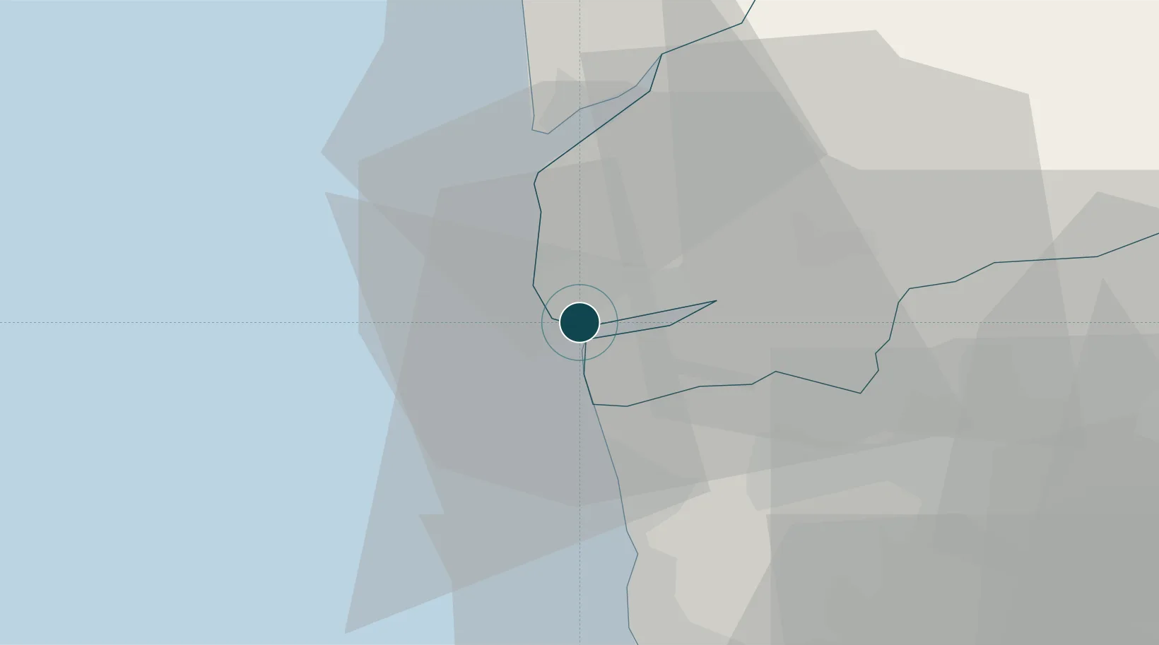
Location
Nearby Logistics Neighbours
Ports
- 1Porto De Leixoes59 km
- 2Vigo60 km
- 3Oporto63 km
- 4Marin79 km
- 5Villagarcia De Arosa100 km
Cities
- 1Carreço6 km
- 2Castelo do Neiva8 km
- 3Vila Praia de Ancora13 km
- 4Caminha19 km
- 5Fão21 km
Airports
- 1Braga Municipal Aerodrome35 km
- 2Francisco de Sá Carneiro Airport52 km
- 3Vilar de Luz Airfield54 km
- 4Vigo Airport62 km
- 5Ovar Air Base89 km
Trade Zones
DatabookThe Record of Consolidated Knowledge
Portugal beyond logistics?