Transport Functions
Multimodal
Hub Profile
Place type
Populated place
Region
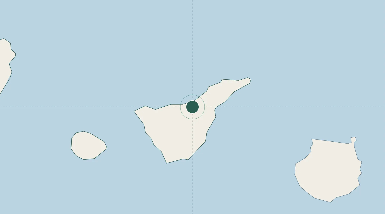
Canary Islands
Population
41,833
Time zone
Atlantic/Canary
Elevation
355 m
Location
Nearby Logistics Neighbours
Cities
- 1Puerto de la Cruz5 km
- 2Santa Úrsula6 km
- 3La Victoria De Acentejo8 km
- 4Sauzal14 km
- 5Guimar14 km
Ports
- 1Santa Cruz De Tenerife29 km
- 2Las Palmas111 km
- 3Santa Cruz De La Palma125 km
- 4Puerto Del Rosario261 km
- 5Arrecife298 km
Airports
- 1Tenerife Norte-Ciudad de La Laguna Airport20 km
- 2Tenerife Sur Airport38 km
- 3La Gomera Airport79 km
- 4Gran Canaria Airport122 km
- 5La Palma Airport124 km
Trade Zones
DatabookThe Record of Consolidated Knowledge
Spain beyond logistics?