Transport Functions
Multimodal
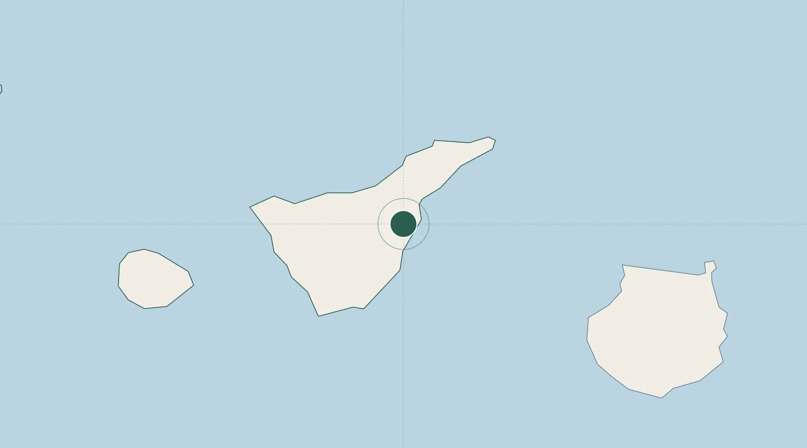
Hub Profile
Place type
Populated place
Region
Canary Islands
Population
17,662
Time zone
Atlantic/Canary
Elevation
278 m
Location
Nearby Logistics Neighbours
Cities
- 1Puerto de Guimar5 km
- 2La Victoria De Acentejo13 km
- 3La Orotava14 km
- 4Santa Úrsula14 km
- 5Puerto de la Cruz18 km
Ports
- 1Santa Cruz De Tenerife26 km
- 2Las Palmas99 km
- 3Santa Cruz De La Palma137 km
- 4Puerto Del Rosario252 km
- 5Arrecife291 km
Airports
- 1Tenerife Norte-Ciudad de La Laguna Airport22 km
- 2Tenerife Sur Airport32 km
- 3La Gomera Airport84 km
- 4Gran Canaria Airport109 km
- 5La Palma Airport136 km
Trade Zones
DatabookThe Record of Consolidated Knowledge
Spain beyond logistics?