Transport Functions
Port
Multimodal
Hub Profile
Place type
District seat
Region
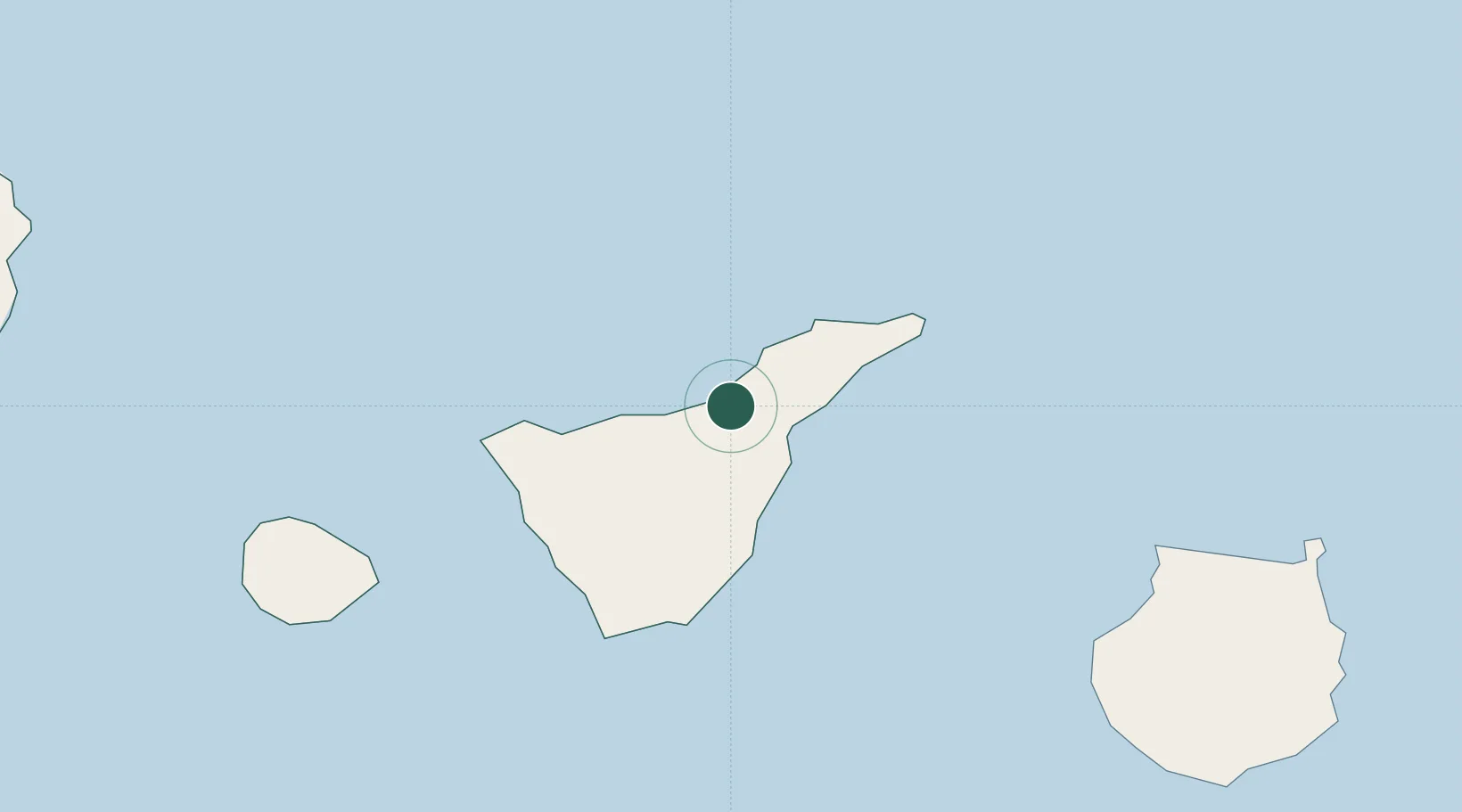
Canary Islands
Population
14,013
Time zone
Atlantic/Canary
Elevation
283 m
Location
Nearby Logistics Neighbours
Cities
- 1La Victoria De Acentejo2 km
- 2La Orotava6 km
- 3Sauzal7 km
- 4Puerto de la Cruz8 km
- 5Tacoronte9 km
Ports
- 1Santa Cruz De Tenerife24 km
- 2Las Palmas107 km
- 3Santa Cruz De La Palma129 km
- 4Puerto Del Rosario256 km
- 5Arrecife292 km
Airports
- 1Tenerife Norte-Ciudad de La Laguna Airport14 km
- 2Tenerife Sur Airport43 km
- 3La Gomera Airport85 km
- 4Gran Canaria Airport119 km
- 5La Palma Airport128 km
Trade Zones
DatabookThe Record of Consolidated Knowledge
Spain beyond logistics?