UN/LOCODE hub · Spain
ESL99

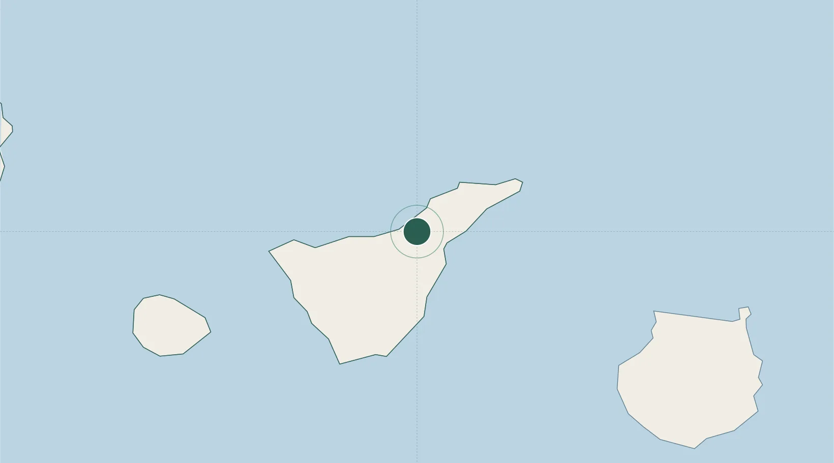
La Victoria De Acentejo

28.4167°, -16.4500°
9,040
Population
3
Transport functions

Transport Functions

Rail
Road
Multimodal
UN/LOCODE

Hub Profile

Place type
Populated place
GeoNames
Region
Canary Islands
GeoNames
Population
9,040
GeoNames
Time zone
Atlantic/Canary
GeoNames
Elevation
481 m
GeoNames

Location

Location of ESL99
Natural Earth 10m (public domain) · Canary Islands · ESL99 · 28.42, -16.45GoogleOSMYandex

Nearby Logistics Neighbours

Cities
  1. 1Santa Úrsula2 km
  2. 2Sauzal6 km
  3. 3Tacoronte7 km
  4. 4La Orotava8 km
  5. 5Puerto de la Cruz10 km
Nearest neighbours — logibook spatial index (haversine) over the source coordinates
Ports
  1. 1Santa Cruz De Tenerife22 km
  2. 2Las Palmas105 km
  3. 3Santa Cruz De La Palma130 km
  4. 4Puerto Del Rosario254 km
  5. 5Arrecife291 km
Nearest neighbours — logibook spatial index (haversine) over the source coordinates
Airports
  1. 1Tenerife Norte-Ciudad de La Laguna Airport13 km
  2. 2Tenerife Sur Airport43 km
  3. 3La Gomera Airport86 km
  4. 4Gran Canaria Airport117 km
  5. 5La Palma Airport130 km
Nearest neighbours — logibook spatial index (haversine) over the source coordinates
Trade Zones
  1. 1Zona Franca de Tenerife21 km
  2. 2Zona Franca de Las Palmas de Gran Canaria106 km
  3. 3Centro Internacional De Negocios da Madeira473 km
  4. 4Bîr Oum Ghrïn Free Zone600 km
  5. 5Omrane Sahel Industrial Zone820 km
Nearest neighbours — logibook spatial index (haversine) over the source coordinates
DatabookThe Record of Consolidated Knowledge
Spain beyond logistics?
Browse databook

All Sources

LocationsUN/LOCODE
UN/LOCODE — free
LocationsGeoNames
CC BY 4.0
Portsthe NGA World Port Index
Public domain (US gov)
AirportsOurAirports
Public domain
Trade Zonesthe World Bank SEZ database
CC BY 4.0
Trade ZonesOpen Zone Map
CC BY
← Spain locations