Transport Functions
Port
Multimodal
Hub Profile
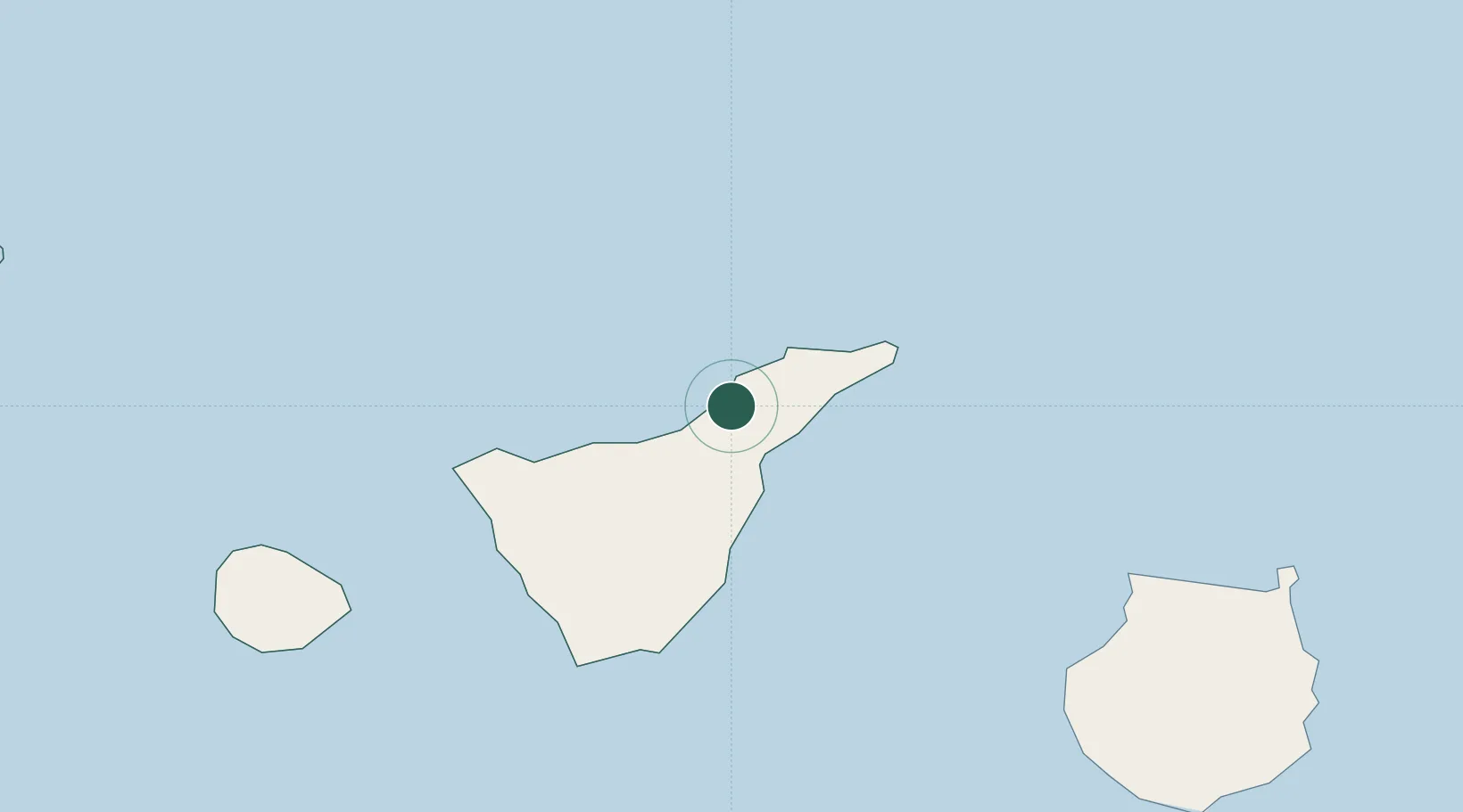
Place type
Populated place
Region
Canary Islands
Population
8,172
Time zone
Atlantic/Canary
Elevation
681 m
Location
Nearby Logistics Neighbours
Cities
- 1Tacoronte2 km
- 2Valle de Guerra6 km
- 3La Victoria De Acentejo6 km
- 4Santa Úrsula7 km
- 5Tejina10 km
Ports
- 1Santa Cruz De Tenerife18 km
- 2Las Palmas104 km
- 3Santa Cruz De La Palma132 km
- 4Puerto Del Rosario251 km
- 5Arrecife286 km
Airports
- 1Tenerife Norte-Ciudad de La Laguna Airport8 km
- 2Tenerife Sur Airport49 km
- 3La Gomera Airport92 km
- 4Gran Canaria Airport117 km
- 5La Palma Airport132 km
Trade Zones
DatabookThe Record of Consolidated Knowledge
Spain beyond logistics?