Transport Functions
Multimodal
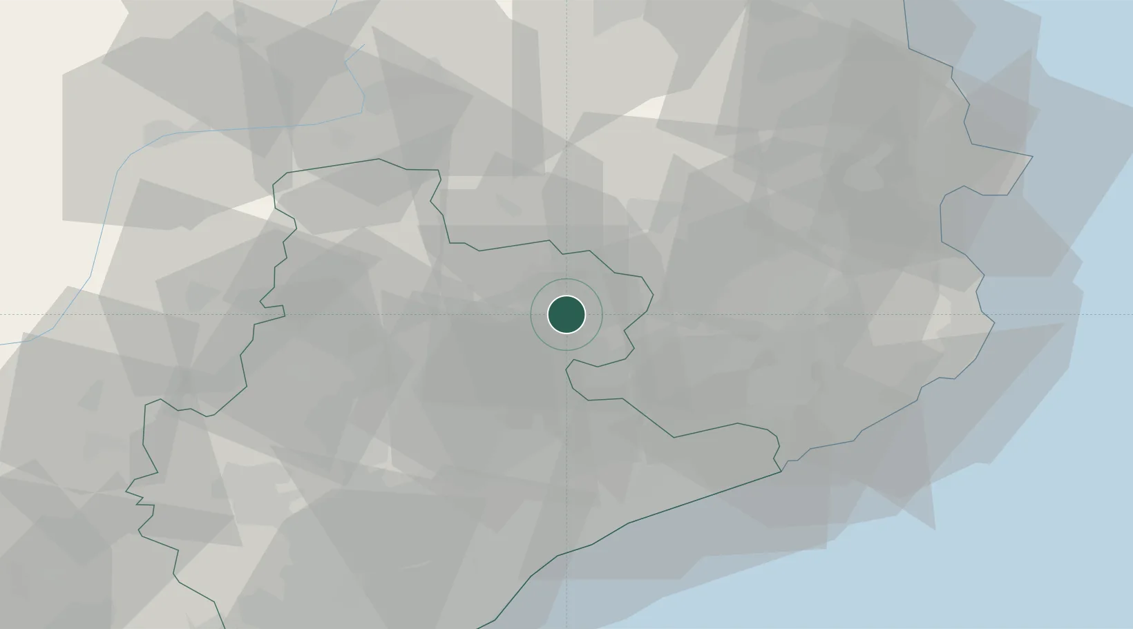
Location
Nearby Logistics Neighbours
Cities
- 1Calldetenes8 km
- 2Gurb9 km
- 3San Vicent de Torello10 km
- 4Santa Eugenia de Berga10 km
- 5Sant Bartomeu del Grau14 km
Ports
- 1San Feliu De Guixols63 km
- 2Palamos68 km
- 3Barcelona72 km
- 4Rosas78 km
- 5Port-Vendres89 km
Airports
Trade Zones
- 1Zona Franca de Barcelona74 km
- 2ZFU Perpignan93 km
- 3Depósito Franco de Tarragona131 km
- 4ZFU Béziers167 km
- 5ZFU Toulouse194 km
DatabookThe Record of Consolidated Knowledge
Spain beyond logistics?