Transport Functions
Multimodal
Hub Profile
Place type
Populated place
Region
Catalonia
Time zone
Europe/Madrid
Elevation
492 m
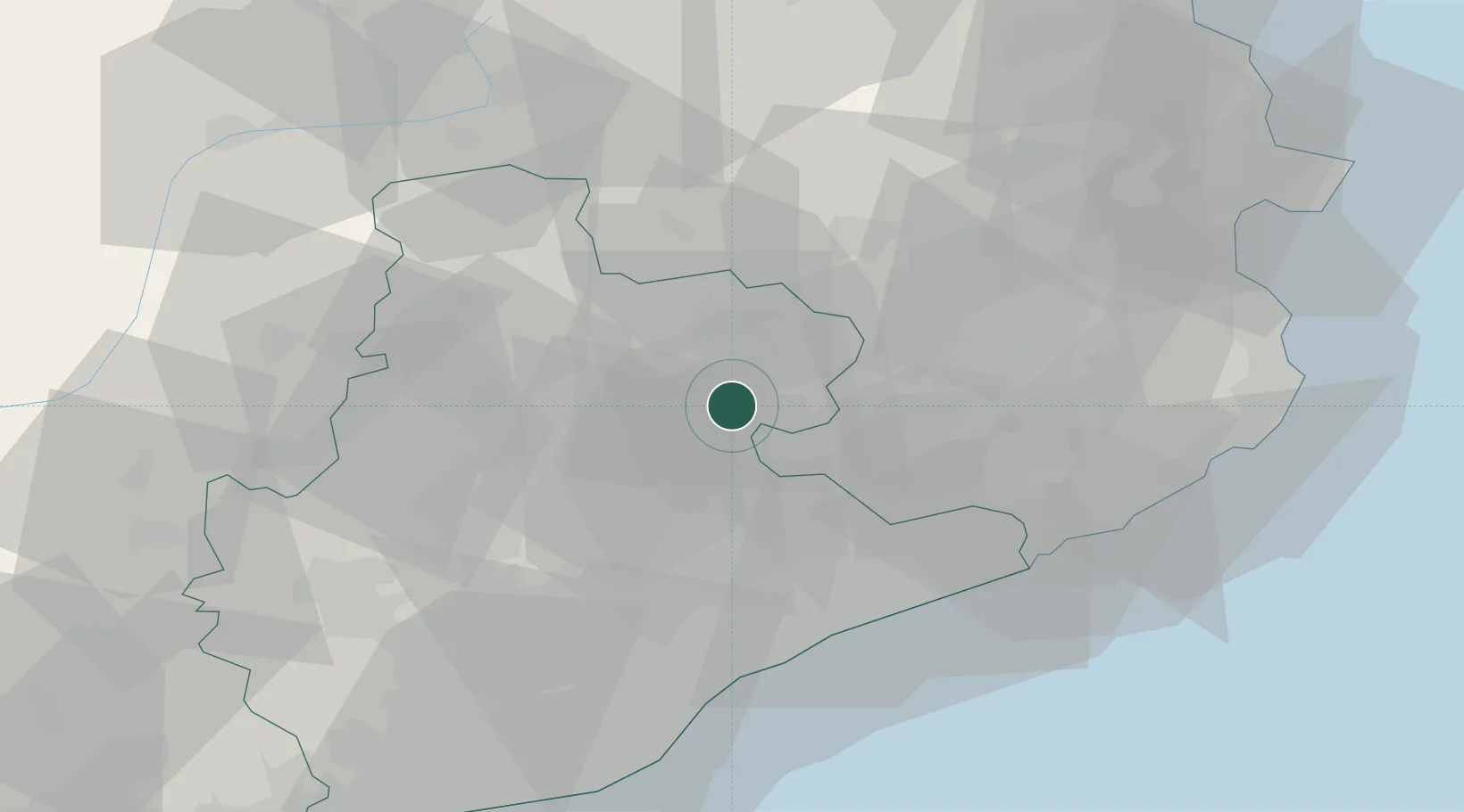
Location
Nearby Logistics Neighbours
Cities
- 1Santa Eugenia de Berga2 km
- 2Gurb7 km
- 3Les Masies de Roda8 km
- 4Seva9 km
- 5Els Hostalets de Balenyá12 km
Ports
- 1Barcelona64 km
- 2San Feliu De Guixols64 km
- 3Palamos70 km
- 4Rosas84 km
- 5Villanueva Y Geltru89 km
Airports
Trade Zones
- 1Zona Franca de Barcelona66 km
- 2ZFU Perpignan100 km
- 3Depósito Franco de Tarragona124 km
- 4ZFU Béziers175 km
- 5ZFU Toulouse200 km
DatabookThe Record of Consolidated Knowledge
Spain beyond logistics?