Transport Functions
Rail
Road
Hub Profile
Place type
Populated place
Region
Catalonia
Population
2,196
Time zone
Europe/Madrid
Elevation
512 m
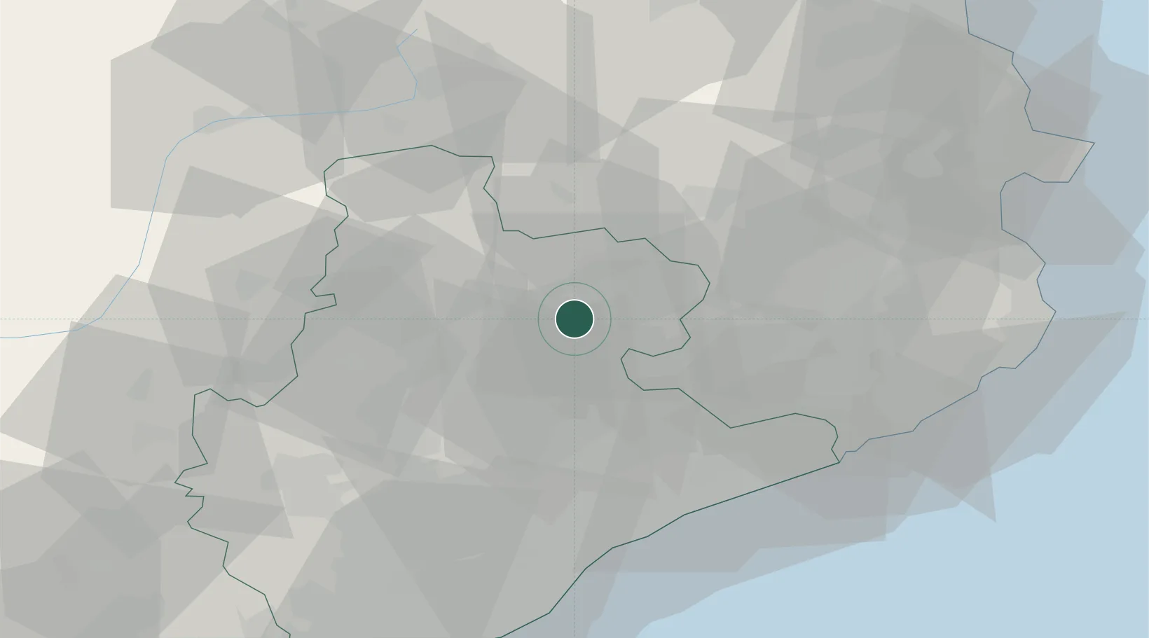
Location
Nearby Logistics Neighbours
Cities
- 1Sant Bartomeu del Grau6 km
- 2Calldetenes7 km
- 3Santa Eugenia de Berga7 km
- 4Les Masies de Roda9 km
- 5San Vicent de Torello14 km
Ports
- 1Barcelona67 km
- 2San Feliu De Guixols70 km
- 3Palamos76 km
- 4Rosas87 km
- 5Villanueva Y Geltru89 km
Airports
Trade Zones
- 1Zona Franca de Barcelona69 km
- 2ZFU Perpignan100 km
- 3Depósito Franco de Tarragona123 km
- 4ZFU Béziers174 km
- 5ZFU Toulouse195 km
DatabookThe Record of Consolidated Knowledge
Spain beyond logistics?