Transport Functions
Multimodal
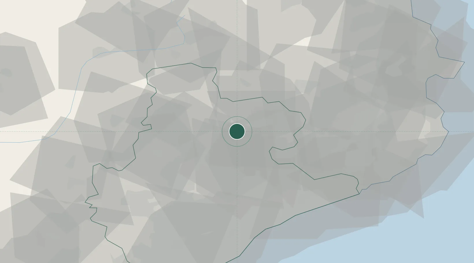
Hub Profile
Place type
Populated place
Region
Catalonia
Time zone
Europe/Madrid
Elevation
849 m
Location
Nearby Logistics Neighbours
Cities
- 1Gurb6 km
- 2Prats de Llucanes12 km
- 3Alcampell12 km
- 4Santa Eugenia de Berga12 km
- 5Calldetenes12 km
Ports
- 1Barcelona69 km
- 2San Feliu De Guixols76 km
- 3Palamos81 km
- 4Villanueva Y Geltru89 km
- 5Rosas92 km
Airports
Trade Zones
- 1Zona Franca de Barcelona70 km
- 2ZFU Perpignan102 km
- 3Depósito Franco de Tarragona121 km
- 4ZFU Béziers175 km
- 5ZFU Toulouse191 km
DatabookThe Record of Consolidated Knowledge
Spain beyond logistics?