UN/LOCODE hub · Spain
ESEBG

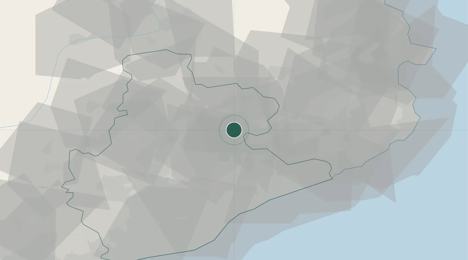
Santa Eugenia de Berga

41.9000°, 2.2667°
2,035
Population
2
Transport functions

Transport Functions

Road
Multimodal
UN/LOCODE

Hub Profile

Place type
Populated place
GeoNames
Region
Catalonia
GeoNames
Population
2,035
GeoNames
Time zone
Europe/Madrid
GeoNames
Elevation
567 m
GeoNames

Location

Location of ESEBG
Natural Earth 10m (public domain) · Catalonia · ESEBG · 41.90, 2.27GoogleOSMYandex

Nearby Logistics Neighbours

Cities
  1. 1Calldetenes2 km
  2. 2Gurb7 km
  3. 3Seva8 km
  4. 4Els Hostalets de Balenyá10 km
  5. 5Les Masies de Roda10 km
Nearest neighbours — logibook spatial index (haversine) over the source coordinates
Ports
  1. 1Barcelona62 km
  2. 2San Feliu De Guixols65 km
  3. 3Palamos71 km
  4. 4Rosas86 km
  5. 5Villanueva Y Geltru86 km
Nearest neighbours — logibook spatial index (haversine) over the source coordinates
Airports
  1. 1Folgueroles Airfield7 km
  2. 2Girona-Costa Brava Airport41 km
  3. 3Josep Tarradellas Barcelona-El Prat Airport69 km
  4. 4Pirineus - la Seu d'Urgel Airport86 km
  5. 5Perpignan-Rivesaltes (Llabanère) Airport106 km
Nearest neighbours — logibook spatial index (haversine) over the source coordinates
Trade Zones
  1. 1Zona Franca de Barcelona64 km
  2. 2ZFU Perpignan103 km
  3. 3Depósito Franco de Tarragona122 km
  4. 4ZFU Béziers178 km
  5. 5ZFU Toulouse201 km
Nearest neighbours — logibook spatial index (haversine) over the source coordinates
DatabookThe Record of Consolidated Knowledge
Spain beyond logistics?
Browse databook

All Sources

LocationsUN/LOCODE
UN/LOCODE — free
LocationsGeoNames
CC BY 4.0
Portsthe NGA World Port Index
Public domain (US gov)
AirportsOurAirports
Public domain
Trade Zonesthe World Bank SEZ database
CC BY 4.0
Trade ZonesOpen Zone Map
CC BY
← Spain locations