Transport Functions
Multimodal
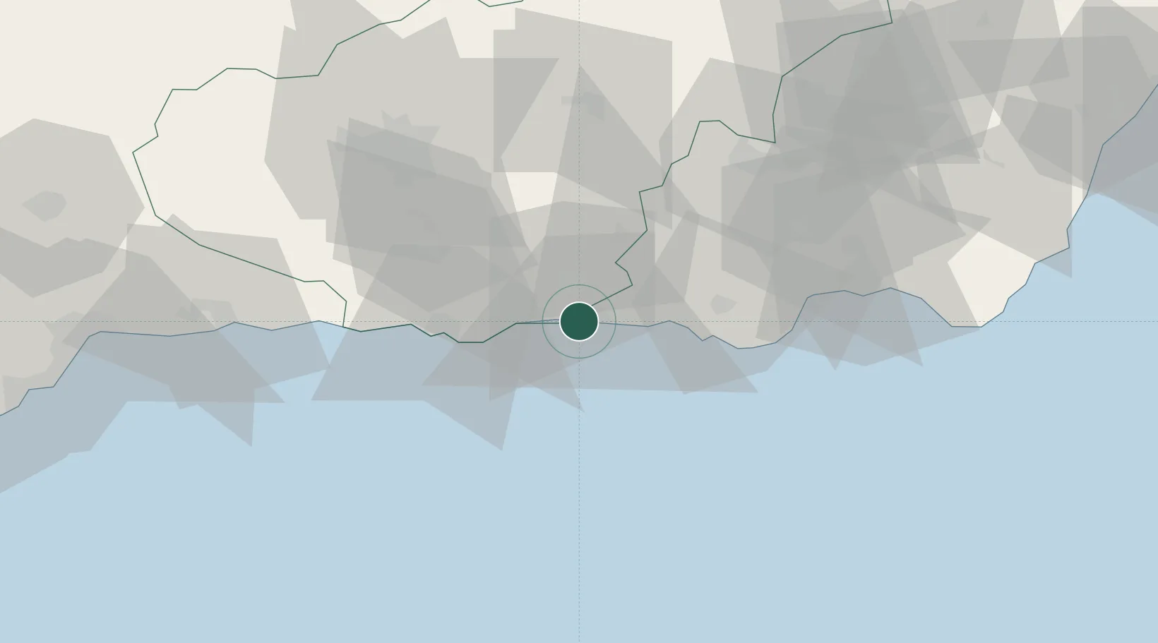
Hub Profile
Place type
Populated place
Region
Andalusia
Time zone
Europe/Madrid
Elevation
12 m
Location
Nearby Logistics Neighbours
Cities
- 1Adra13 km
- 2Lagos24 km
- 3Carchuna24 km
- 4Órjiva28 km
- 5Fuente Victoria37 km
Ports
- 1Adra12 km
- 2Motril31 km
- 3Almeria63 km
- 4Malaga112 km
- 5Puerto De Carboneras118 km
Airports
- 1Armilla Air Base60 km
- 2Almería Airport72 km
- 3F.G.L. Airport Granada-Jaén Airport73 km
- 4Málaga-Costa del Sol Airport119 km
- 5Melilla Airport165 km
Trade Zones
- 1Depósito Franco de Málaga125 km
- 2Melilla Autonomous Community163 km
- 3Nador WestMed Free Zone168 km
- 4Ait Kamra Economic Activity Zone191 km
- 5Berkane Agro-Pole214 km
DatabookThe Record of Consolidated Knowledge
Spain beyond logistics?