Transport Functions
Port
Hub Profile
Region
GR
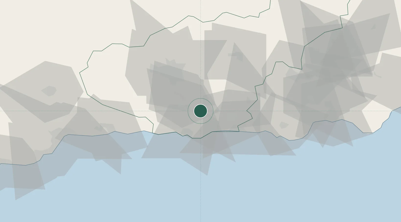
Location
Nearby Logistics Neighbours
Ports
- 1Motril19 km
- 2Adra39 km
- 3Almeria85 km
- 4Malaga91 km
- 5Puerto De Carboneras137 km
Airports
- 1Armilla Air Base32 km
- 2F.G.L. Airport Granada-Jaén Airport45 km
- 3Almería Airport93 km
- 4Málaga-Costa del Sol Airport100 km
- 5Córdoba Airport164 km
Trade Zones
- 1Depósito Franco de Málaga100 km
- 2Melilla Autonomous Community184 km
- 3Nador WestMed Free Zone186 km
- 4Depósito Franco de Algeciras200 km
- 5Ait Kamra Economic Activity Zone200 km
DatabookThe Record of Consolidated Knowledge
Spain beyond logistics?