Transport Functions
Port
Hub Profile
Place type
Populated place
Region
Occitanie
Population
494
Time zone
Europe/Paris
Elevation
197 m
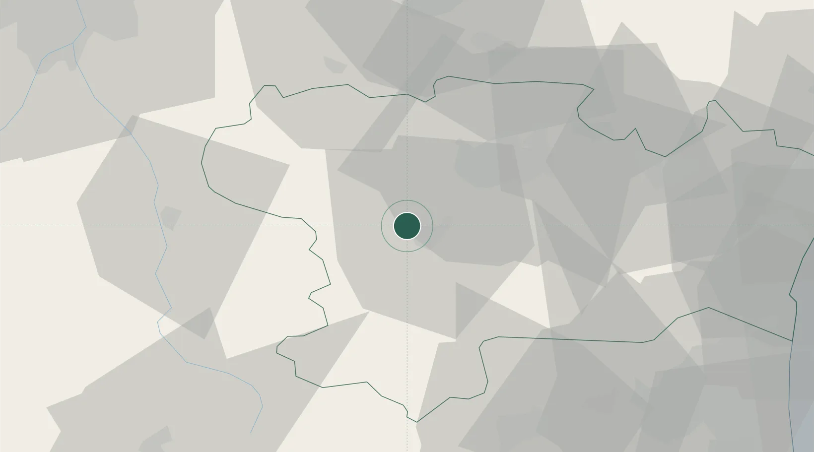
Location
Nearby Logistics Neighbours
Cities
- 1Malviès2 km
- 2Brugairolles2 km
- 3Malras4 km
- 4Pauligne4 km
- 5Errezil6 km
Ports
- 1Port-La-Nouvelle74 km
- 2Port-Vendres101 km
- 3Rosas125 km
- 4Sete129 km
- 5Palamos161 km
Airports
Trade Zones
- 1ZFU Perpignan74 km
- 2ZFU Toulouse81 km
- 3ZFU Béziers89 km
- 4ZFU Montpellier147 km
- 5ZFU Nîmes193 km
DatabookThe Record of Consolidated Knowledge
France beyond logistics?