Transport Functions
Multimodal
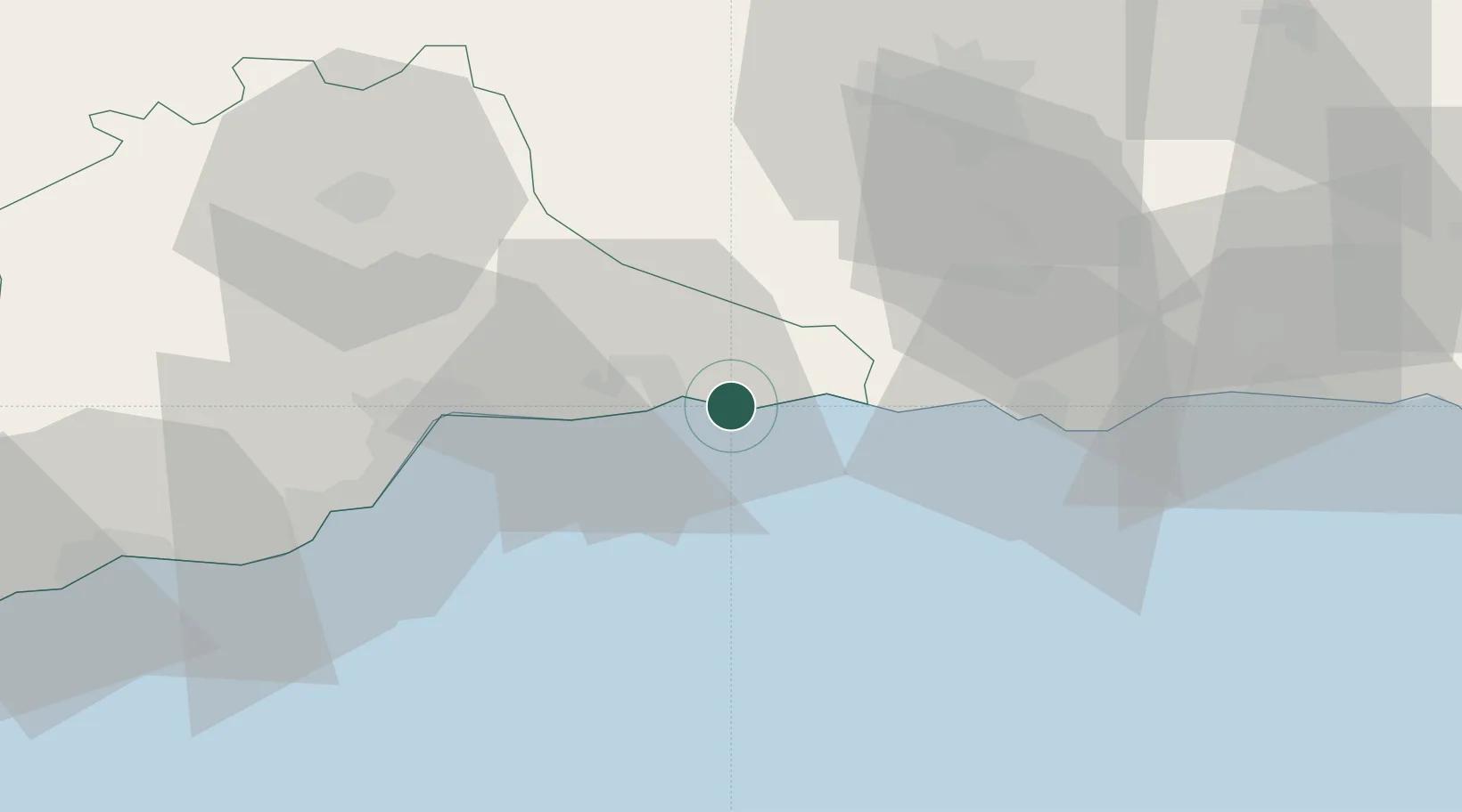
Hub Profile
Place type
Populated place
Region
Andalusia
Time zone
Europe/Madrid
Elevation
14 m
Location
Nearby Logistics Neighbours
Cities
- 1Torrox4 km
- 2Yunquera39 km
- 3Málaga39 km
- 4Escuzar42 km
- 5Casabermeja42 km
Airports
- 1Málaga-Costa del Sol Airport46 km
- 2F.G.L. Airport Granada-Jaén Airport54 km
- 3Armilla Air Base54 km
- 4Gibraltar Airport138 km
- 5Almería Airport144 km
Trade Zones
DatabookThe Record of Consolidated Knowledge
Spain beyond logistics?