UN/LOCODE hub · Spain
ESZDI

Torrox

36.7667°, -3.9667°
16,890
Population
1
Transport functions

Transport Functions

Multimodal
UN/LOCODE

Hub Profile

Place type
District seat
GeoNames
Region
Andalusia
GeoNames
Population
16,890
GeoNames
Time zone
Europe/Madrid
GeoNames
Elevation
147 m
GeoNames

Location

Location of ESZDI
Natural Earth 10m (public domain) · Andalusia · ESZDI · 36.77, -3.97GoogleOSMYandex

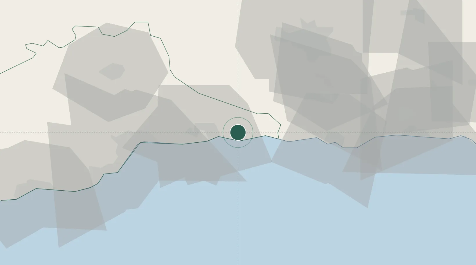
Nearby Logistics Neighbours

Cities
  1. 1El Morche4 km
  2. 2Escuzar38 km
  3. 3Yunquera41 km
  4. 4Málaga41 km
  5. 5Casabermeja42 km
Nearest neighbours — logibook spatial index (haversine) over the source coordinates
Ports
  1. 1Motril40 km
  2. 2Malaga41 km
  3. 3Adra83 km
  4. 4Almeria134 km
  5. 5Algeciras149 km
Nearest neighbours — logibook spatial index (haversine) over the source coordinates
Airports
  1. 1Málaga-Costa del Sol Airport49 km
  2. 2F.G.L. Airport Granada-Jaén Airport50 km
  3. 3Armilla Air Base50 km
  4. 4Gibraltar Airport141 km
  5. 5Almería Airport142 km
Nearest neighbours — logibook spatial index (haversine) over the source coordinates
Trade Zones
  1. 1Depósito Franco de Málaga58 km
  2. 2Depósito Franco de Algeciras149 km
  3. 3Autonomous City of Ceuta156 km
  4. 4Tetouan Shore Industrial Park173 km
  5. 5Tanger Med Ksar el Majaz Mellousa Freeport176 km
Nearest neighbours — logibook spatial index (haversine) over the source coordinates
DatabookThe Record of Consolidated Knowledge
Spain beyond logistics?
Browse databook

All Sources

LocationsUN/LOCODE
UN/LOCODE — free
LocationsGeoNames
CC BY 4.0
Portsthe NGA World Port Index
Public domain (US gov)
AirportsOurAirports
Public domain
Trade Zonesthe World Bank SEZ database
CC BY 4.0
Trade ZonesOpen Zone Map
CC BY
← Spain locations