UN/LOCODE hub · Spain
ESZNS

Tolox

36.7000°, -4.9000°
2,261
Population
1
Transport functions

Transport Functions

Multimodal
UN/LOCODE

Hub Profile

Place type
District seat
GeoNames
Region
Andalusia
GeoNames
Population
2,261
GeoNames
Time zone
Europe/Madrid
GeoNames
Elevation
313 m
GeoNames

Location

Location of ESZNS
Natural Earth 10m (public domain) · Andalusia · ESZNS · 36.70, -4.90GoogleOSMYandex

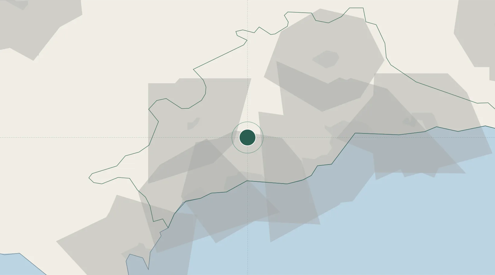
Nearby Logistics Neighbours

Cities
  1. 1Monda10 km
  2. 2Nueva Andalucia23 km
  3. 3Arriate24 km
  4. 4Campanillas33 km
  5. 5Arroyo de la Miel35 km
Nearest neighbours — logibook spatial index (haversine) over the source coordinates
Ports
  1. 1Malaga43 km
  2. 2Algeciras79 km
  3. 3Ceuta97 km
  4. 4Tangier-Mediterranean105 km
  5. 5Sevilla123 km
Nearest neighbours — logibook spatial index (haversine) over the source coordinates
Airports
  1. 1Málaga-Costa del Sol Airport36 km
  2. 2Tomás Fernández Espada Airfield69 km
  3. 3Gibraltar Airport73 km
  4. 4Algeciras Heliport80 km
  5. 5Moron Air Base83 km
Nearest neighbours — logibook spatial index (haversine) over the source coordinates
Trade Zones
  1. 1Depósito Franco de Málaga51 km
  2. 2Depósito Franco de Algeciras80 km
  3. 3Autonomous City of Ceuta98 km
  4. 4Tanger Med Ksar el Majaz Mellousa Freeport112 km
  5. 5Zona Franca de Sevilla121 km
Nearest neighbours — logibook spatial index (haversine) over the source coordinates
DatabookThe Record of Consolidated Knowledge
Spain beyond logistics?
Browse databook

All Sources

LocationsUN/LOCODE
UN/LOCODE — free
LocationsGeoNames
CC BY 4.0
Portsthe NGA World Port Index
Public domain (US gov)
AirportsOurAirports
Public domain
Trade Zonesthe World Bank SEZ database
CC BY 4.0
Trade ZonesOpen Zone Map
CC BY
← Spain locations