Transport Functions
Multimodal
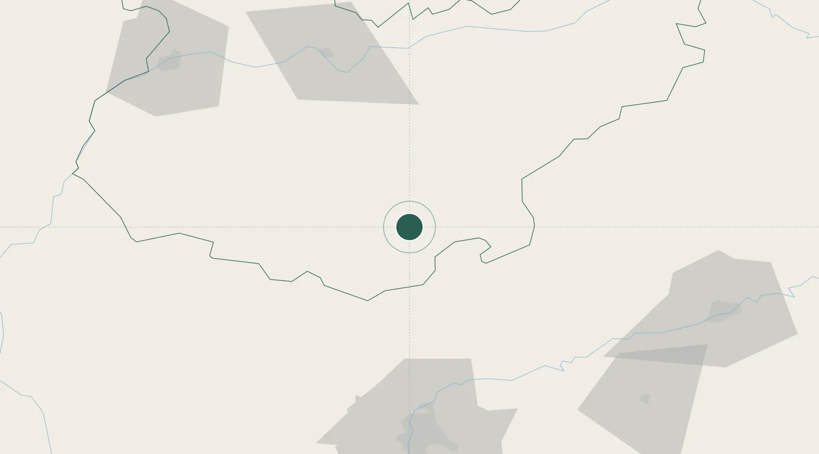
Hub Profile
Place type
District seat
Region
Extremadura
Population
5,716
Time zone
Europe/Madrid
Elevation
650 m
Location
Nearby Logistics Neighbours
Cities
- 1Fuente del Arco14 km
- 2Valverde de Llerena18 km
- 3Berlanga18 km
- 4Valencia de Torres19 km
- 5Maguilla22 km
Ports
- 1Sevilla96 km
- 2Huelva137 km
- 3Vila Real De S Antonio169 km
- 4Rota182 km
- 5Cadiz191 km
Airports
- 1Madroñalejos Forest Fire fighting Heliport81 km
- 2Seville Airport91 km
- 3Badajoz Airport101 km
- 4Córdoba Airport111 km
- 5Moron Air Base123 km
Trade Zones
- 1Zona Franca de Sevilla100 km
- 2Puerto de Huelva137 km
- 3Depósito Franco de Málaga187 km
- 4Zona Franca de Cádiz194 km
- 5Depósito Franco de Algeciras240 km
DatabookThe Record of Consolidated Knowledge
Spain beyond logistics?