Transport Functions
Multimodal
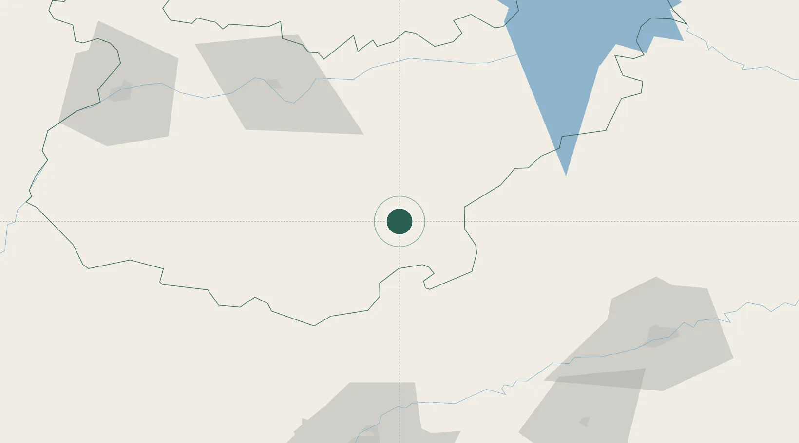
Hub Profile
Place type
District seat
Region
Extremadura
Population
1,112
Time zone
Europe/Madrid
Elevation
546 m
Location
Nearby Logistics Neighbours
Cities
- 1Berlanga9 km
- 2Valencia de Torres15 km
- 3Valverde de Llerena17 km
- 4Azuaga17 km
- 5Llera21 km
Ports
- 1Sevilla112 km
- 2Huelva158 km
- 3Vila Real De S Antonio191 km
- 4Rota200 km
- 5Cadiz208 km
Airports
- 1Madroñalejos Forest Fire fighting Heliport101 km
- 2Badajoz Airport104 km
- 3Córdoba Airport104 km
- 4Seville Airport106 km
- 5Moron Air Base134 km
Trade Zones
- 1Zona Franca de Sevilla116 km
- 2Puerto de Huelva158 km
- 3Depósito Franco de Málaga187 km
- 4Zona Franca de Cádiz211 km
- 5Depósito Franco de Algeciras252 km
DatabookThe Record of Consolidated Knowledge
Spain beyond logistics?